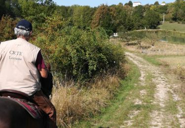
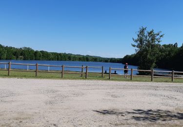
11.7 km | 14.9 km-effort
Domptail en l'air
noelphil
User
Length
13.4 km
Max alt
351 m
Uphill gradient
196 m
Km-Effort
16.1 km
Min alt
263 m
Downhill gradient
203 m
Boucle
Yes
Creation date :
2021-05-27 11:56:18.371
Updated on :
2021-05-27 15:05:09.575
3h08
Difficulty : Difficult
FREE GPS app for hiking
About
Trail Walking of 13.4 km to be discovered at Grand Est, Meurthe-et-Moselle, Domptail-en-l'Air. This trail is proposed by noelphil.
Positioning
Country:
France
Region :
Grand Est
Department/Province :
Meurthe-et-Moselle
Municipality :
Domptail-en-l'Air
Location:
Unknown
Start:(Dec)
Start:(UTM)
302585 ; 5376914 (32U) N.
Comments
Trails nearby
Crevechamp-Benney-Menil
Mountain bike
Easy
Crévéchamps,
Grand Est,
Meurthe-et-Moselle,
France
1h 10min
No
rando des vergers 2020
Horseback riding
Very easy
Charmois,
Grand Est,
Meurthe-et-Moselle,
France
18.2 km | 22 km-effort
3h 10min
Yes
Etang Bayon
Walking
Easy
Bayon,
Grand Est,
Meurthe-et-Moselle,
France
3.4 km | 3.6 km-effort
1h 14min
Yes
LM crevechamp
Walking
Easy
Crévéchamps,
Grand Est,
Meurthe-et-Moselle,
France
11.1 km | 13.4 km-effort
3h 11min
Yes
20230907Vélo en extérieur
Road bike
Medium
Tonnoy,
Grand Est,
Meurthe-et-Moselle,
France
63 km | 74 km-effort
4h 29min
No
Les hauts de Vigneules
Walking
Medium
Barbonville,
Grand Est,
Meurthe-et-Moselle,
France
17.7 km | 21 km-effort
3h 23min
No
Crevéchamps le grand Rozot
Walking
Very easy
Crévéchamps,
Grand Est,
Meurthe-et-Moselle,
France
17.3 km | 18.3 km-effort
2h 19min
No
Rando en famille Ferrières
Walking
Very easy
Ferrières,
Grand Est,
Meurthe-et-Moselle,
France
12.4 km | 16 km-effort
5h 2min
No
la saussaie Bayon 10km
Walking
Medium
(1)
Bayon,
Grand Est,
Meurthe-et-Moselle,
France
9.9 km | 11.1 km-effort
2h 36min
Yes