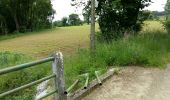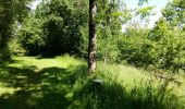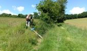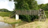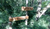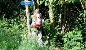

LUCARE / ABERRE GR653A premier tronçon du secteur A 2801487

marmotte65
User GUIDE

Length
11.7 km

Max alt
345 m

Uphill gradient
268 m

Km-Effort
15.2 km

Min alt
217 m

Downhill gradient
249 m
Boucle
No
Creation date :
2021-05-25 07:45:56.103
Updated on :
2022-04-23 17:14:32.057
3h08
Difficulty : Difficult

FREE GPS app for hiking
About
Trail Walking of 11.7 km to be discovered at New Aquitaine, Pyrénées-Atlantiques, Bentayou-Sérée. This trail is proposed by marmotte65.
Description
Coordonnées GPS entrée du département.
N43 24 36 6 W000 04 02 7
Coordonnées arrivée
N 43 23 18 7 W 000 09 43 8
Balisage fait avec May/ Bernard et J-Y et moi meme bien sur
Positioning
Country:
France
Region :
New Aquitaine
Department/Province :
Pyrénées-Atlantiques
Municipality :
Bentayou-Sérée
Location:
Unknown
Start:(Dec)
Start:(UTM)
737441 ; 4810542 (30T) N.
Comments
Trails nearby

LEMBEYE Labelisation le chemin de la ligne "4009338"


Walking
Medium
Lembeye,
New Aquitaine,
Pyrénées-Atlantiques,
France

7 km | 8.8 km-effort
1h 59min
Yes
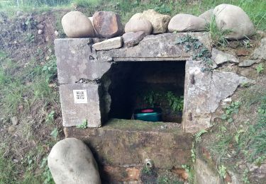
LEMBEYE Terra aventura


Walking
Easy
Lembeye,
New Aquitaine,
Pyrénées-Atlantiques,
France

3.1 km | 3.6 km-effort
47min
Yes
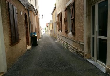
LEMBEYE La ligne M2


Walking
Easy
Lembeye,
New Aquitaine,
Pyrénées-Atlantiques,
France

6.8 km | 8.6 km-effort
1h 40min
Yes

casteraloubixM1


Walking
Very easy
Castéra-Loubix,
New Aquitaine,
Pyrénées-Atlantiques,
France

9.3 km | 12.7 km-effort
2h 41min
Yes

06 - Lembeye


On foot
Easy
Lembeye,
New Aquitaine,
Pyrénées-Atlantiques,
France

5.5 km | 6.9 km-effort
1h 33min
No

Lamayou - Peyraube et Lalaye


Walking
Difficult
Lamayou,
New Aquitaine,
Pyrénées-Atlantiques,
France

10.7 km | 12.6 km-effort
2h 51min
Yes

2022-04-25 16-37-38


On foot
Easy
Luc-Armau,
New Aquitaine,
Pyrénées-Atlantiques,
France

12.6 km | 16.1 km-effort
3h 39min
No

LEMBEYE chemin de la ligne M2 bis


On foot
Easy
Lembeye,
New Aquitaine,
Pyrénées-Atlantiques,
France

7.1 km | 9.1 km-effort
Unknown
Yes

LEMBEYE chemin de la ligne M1


Walking
Very easy
Lembeye,
New Aquitaine,
Pyrénées-Atlantiques,
France

10.2 km | 12.4 km-effort
2h 44min
Yes


 SityTrail


