


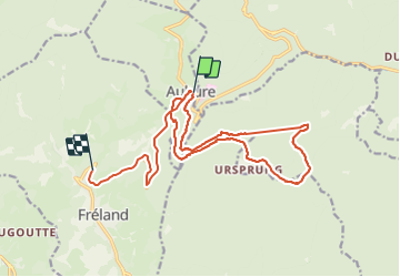

27 km | 41 km-effort


User


FREE GPS app for hiking
 SityTrail
IGN / Geographical institutes
SityTrail World
The world is yours!
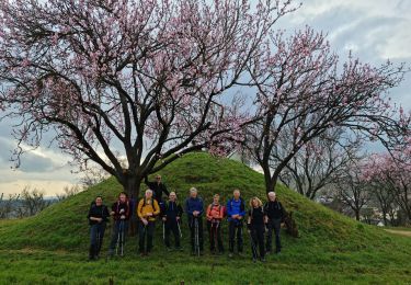
Trail Walking of 18.4 km to be discovered at Grand Est, Haut-Rhin, Aubure. This trail is proposed by pascalloos.
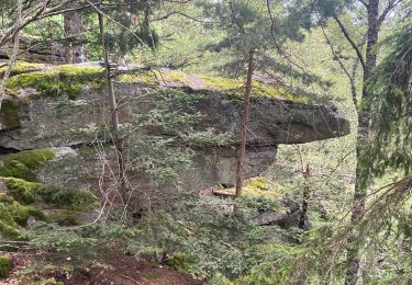
Aubure, rocher du tétra, St Alexis
Col du kalblin, col de freland

Horseback riding

Horseback riding

Walking

sport
Walking

Horseback riding

Walking
Walking
Walking