


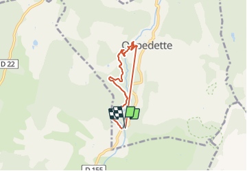

9.4 km | 12.8 km-effort


User


FREE GPS app for hiking
 SityTrail
IGN / Geographical institutes
SityTrail World
The world is yours!
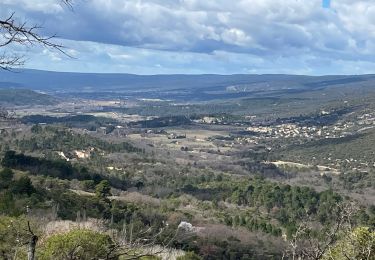
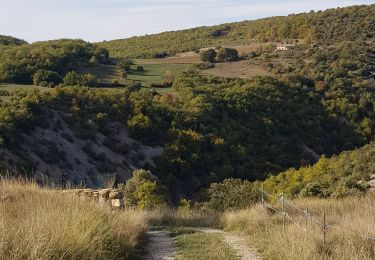
Trail Walking of 5.8 km to be discovered at Provence-Alpes-Côte d'Azur, Alpes-de-Haute-Provence, Oppedette. This trail is proposed by martoche.
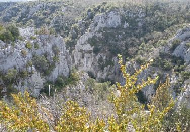
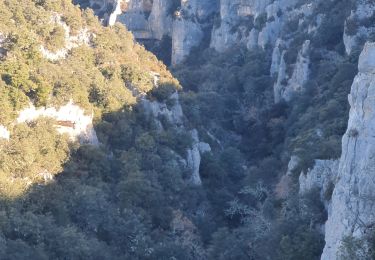
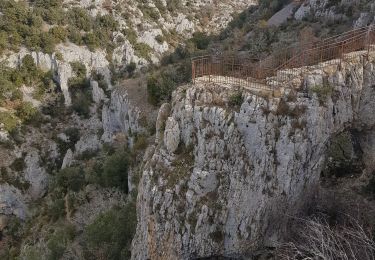
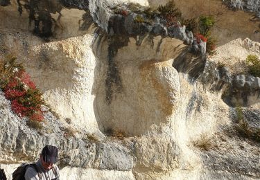
sentier ludique. echelle en descente de l'aven. un peu glissant après sur terre humide. barre de fer dans les passages techniques ( sans danger ), belles pvotos a bas des gorces.
Walking
Walking
Walking
Walking
Walking

Walking
Walking

Walking

Walking