3.2 km | 3.9 km-effort
Utrecht - ATB tocht Soest
gpstracks
User
Length
44 km
Max alt
46 m
Uphill gradient
329 m
Km-Effort
48 km
Min alt
1 m
Downhill gradient
326 m
Boucle
Yes
Creation date :
2014-12-10 00:00:00.0
Updated on :
2014-12-10 00:00:00.0
--
Difficulty : Unknown
FREE GPS app for hiking
About
Trail Mountain bike of 44 km to be discovered at Utrecht, Unknown, Soest. This trail is proposed by gpstracks.
Description
More information on GPStracks.nl : http://www.gpstracks.nl
Positioning
Country:
Netherlands
Region :
Utrecht
Department/Province :
Unknown
Municipality :
Soest
Location:
Unknown
Start:(Dec)
Start:(UTM)
656819 ; 5778281 (31U) N.
Comments
Trails nearby
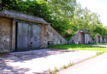
Wandelroute Munitiepark
On foot
Easy
Soest,
Utrecht,
Unknown,
Netherlands
4.3 km | 4.9 km-effort
1h 6min
Yes
Groene Wissel: Den Dolder
On foot
Easy
Baarn,
Utrecht,
Unknown,
Netherlands
9.4 km | 10.3 km-effort
2h 20min
No
Zeister rondje kozakken put
Other activity
Very easy
Zeist,
Utrecht,
Unknown,
Netherlands
12.8 km | 13.7 km-effort
Unknown
Yes
a-utrecht-soest-veluwe-soest
Motor
Very easy
Soest,
Utrecht,
Unknown,
Netherlands
159 km | 172 km-effort
Unknown
Yes
a-utrecht-binnendoor-naar-nijmegen
Motor
Very easy
Zeist,
Utrecht,
Unknown,
Netherlands
63 km | 69 km-effort
Unknown
No
Utrecht - Soesterbergse heuvelroute
Cycle
Very easy
Zeist,
Utrecht,
Unknown,
Netherlands
44 km | 49 km-effort
Unknown
Yes