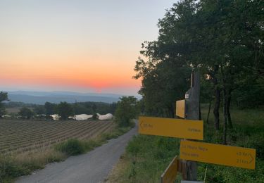
51 km | 61 km-effort
Sagnon au depart du camping les cedres Apt
martoche
User
Length
11.7 km
Max alt
489 m
Uphill gradient
327 m
Km-Effort
16.1 km
Min alt
221 m
Downhill gradient
325 m
Boucle
No
Creation date :
2021-05-24 11:30:14.532
Updated on :
2021-05-24 14:53:21.743
3h20
Difficulty : Easy
FREE GPS app for hiking
About
Trail Walking of 11.7 km to be discovered at Provence-Alpes-Côte d'Azur, Vaucluse, Apt. This trail is proposed by martoche.
Description
grimper au rocher de Sagnon vaut le detour pour le point de vue. Les 3km retour sur la veloroute paraissent un peu longs
Positioning
Country:
France
Region :
Provence-Alpes-Côte d'Azur
Department/Province :
Vaucluse
Municipality :
Apt
Location:
Unknown
Start:(Dec)
Start:(UTM)
692887 ; 4860982 (31T) N.
Comments
Trails nearby
Saignon Bories
Walking
Easy
(2)
Saignon,
Provence-Alpes-Côte d'Azur,
Vaucluse,
France
10.8 km | 13.8 km-effort
3h 2min
Yes
Plateau des Claparèdes - Saignon
Walking
Medium
(1)
Buoux,
Provence-Alpes-Côte d'Azur,
Vaucluse,
France
10.8 km | 14.6 km-effort
5h 0min
Yes
Circuit Vélo - Les Ocres en vélo - Apt
Cycle
Difficult
(1)
Apt,
Provence-Alpes-Côte d'Azur,
Vaucluse,
France
50 km | 60 km-effort
5h 0min
Yes
Le Mourre Nègre
Walking
Medium
(1)
Auribeau,
Provence-Alpes-Côte d'Azur,
Vaucluse,
France
16.1 km | 27 km-effort
5h 31min
Yes
D'APT à Saignon boucle V2 par la route
Walking
Difficult
(1)
Apt,
Provence-Alpes-Côte d'Azur,
Vaucluse,
France
10.7 km | 14.4 km-effort
3h 17min
Yes
Buoux /Saignon
Walking
Difficult
Buoux,
Provence-Alpes-Côte d'Azur,
Vaucluse,
France
12.4 km | 15.6 km-effort
5h 45min
Yes
D'APT à Saignon boucle
Walking
Difficult
(1)
Apt,
Provence-Alpes-Côte d'Azur,
Vaucluse,
France
9.1 km | 13 km-effort
2h 56min
Yes
Auribeau Mourre Négre retour Auribeau
Walking
Medium
Auribeau,
Provence-Alpes-Côte d'Azur,
Vaucluse,
France
8.5 km | 16.1 km-effort
3h 38min
Yes