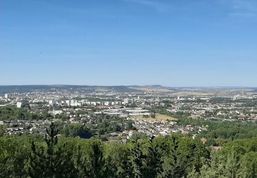
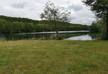
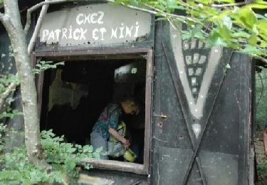
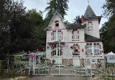
Trail Walking Richardménil - Riichardmenil 16 350m +187m - Photo

Riichardmenil 16 350m +187m

© OpenStreetMap contributors
Length
Length
16.3 km
Max alt
Max alt
282 m
Uphill gradient
Uphill gradient
186 m
Km-Effort
Km-Effort  
18.8 km
Min alt
Min alt
208 m
Downhill gradient
Downhill gradient
186 m
Boucle
Boucle
Yes
Creation date :
2021-05-24 06:18:43.381
Updated on :
2021-05-24 12:32:38.577

(0 Reviews)

Walking
Walking
3h45
Difficulty : Difficult

Scan this QR Code to open this trail in the SityTrail application

FREE GPS app for hiking

Logo SityTrail SityTrail

IGN / Geographical institutes

Download SityTrail from the App Store Download SityTrail from Google Play

Logo SityTrail SityTrail World

The world is yours!

Download SityTrail from the App Store Download SityTrail from Google Play Download SityTrail on Huawei AppGallery

About

Trail Walking of 16.3 km to be discovered at Grand Est, Meurthe-et-Moselle, Richardménil. This trail is proposed by DanielROLLET.

Description

2021 05 24 Avec Marie 8h20 à 12h05
Beau temps se couvrant en fin de matinée.
- Gros problème : traversée de la voie ferrée entre Bois de Grève  la zone d'activités du Breuil.
- Aucun intérêt à subir le bruit de l'autoroute A330 sur plus de 500m.
- Le suivi du canal de jonction entre Fléville et Les Turbines à Messein est insupportable avec tous ces vélos et trottinettes électriques.
Conclusion : étudier un autre itinéraire.

Elevation profile

Positioning

Country:
France
Region :
Grand Est
Department/Province :
Meurthe-et-Moselle
Municipality :
Richardménil
Location:
Unknown
Start:(UTM)
291696 ; 5387822 (32U) N.

Trails nearby

Trail On foot Fléville-devant-Nancy - Fléville-devant-Nancy et son château - Photo
On foot
GUIDE+

On foot

Easy
Fléville-devant-Nancy, Grand Est, Meurthe-et-Moselle, France
7.9 km | 9.4 km-effort
2h 8min
Yes
Trail sport Ludres - Ludres - Photo
sport
CZA

sport

Very easy
Ludres, Grand Est, Meurthe-et-Moselle, France
11.6 km | 14.9 km-effort
Unknown
Yes
Trail Walking Ludres - SityTrail - Marche gourmande 11km - Photo
Walking

Walking

Difficult
(2)
Ludres, Grand Est, Meurthe-et-Moselle, France
10.4 km | 12.1 km-effort
2h 45min
Yes
Trail Walking Ludres - marche nuit - Photo
Walking
JJG54

Walking

Medium
Ludres, Grand Est, Meurthe-et-Moselle, France
8.7 km | 10.1 km-effort
2h 11min
Yes
Trail Nordic walking Ludres - Randonnée Ludres la mine la maison Patrick et Nini - Photo
Nordic walking
JJG54

Nordic walking

Easy
Ludres, Grand Est, Meurthe-et-Moselle, France
6.7 km | 8.4 km-effort
1h 48min
No
Trail Nordic walking Ludres - Randonnée Ludres Belvédère  - Photo
Nordic walking
JJG54

Nordic walking

Easy
Ludres, Grand Est, Meurthe-et-Moselle, France
6.7 km | 8 km-effort
1h 44min
Yes
Trail Walking Flavigny-sur-Moselle - Flavigny sur moselle - Photo
Walking
Jacques-WIRTH

Walking

Very easy
Flavigny-sur-Moselle, Grand Est, Meurthe-et-Moselle, France
10.1 km | 11 km-effort
3h 1min
Yes
Trail Walking Vandœuvre-lès-Nancy - Ludres 12 500m +178m - Photo
Walking
DanielROLLET

Walking

Very easy
Vandœuvre-lès-Nancy, Grand Est, Meurthe-et-Moselle, France
12.3 km | 14.5 km-effort
3h 14min
Yes
Trail Walking Flavigny-sur-Moselle - Flavigny 2  12 100m + 197m  - Photo
Walking
DanielROLLET

Walking

Very easy
Flavigny-sur-Moselle, Grand Est, Meurthe-et-Moselle, France
11.9 km | 14.1 km-effort
3h 13min
Yes


Close
My subscriptions