


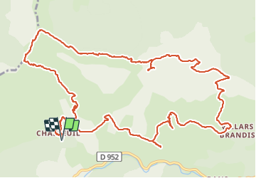


9.3 km | 18.6 km-effort

User


FREE GPS app for hiking
 SityTrail
IGN / Geographical institutes
SityTrail World
The world is yours!
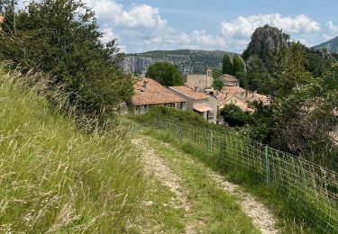
Trail Walking of 18.5 km to be discovered at Provence-Alpes-Côte d'Azur, Alpes-de-Haute-Provence, Castellane. This trail is proposed by ETMU5496.
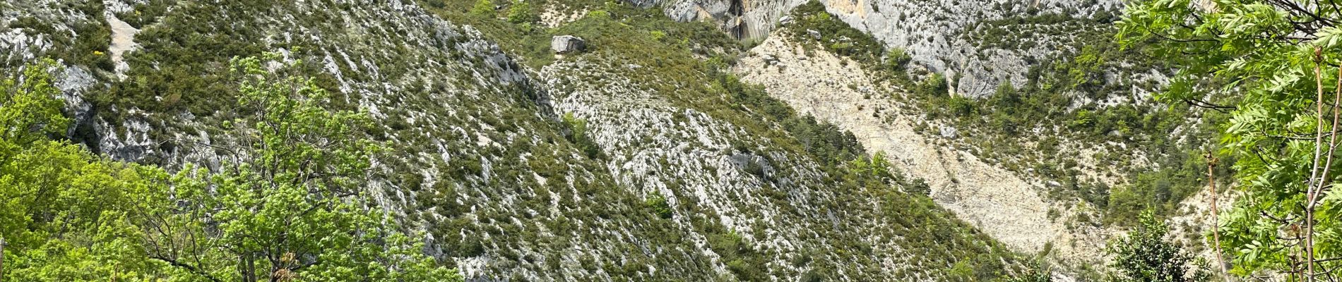
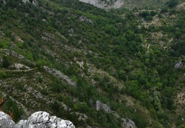
Randonnée avec de superbes points de vue et les Cadières sont magnifiques. Prévoir d'y pique-niquer.
Attention toutefois car dans ce sens, la descente du Pré Chauvin et technique.


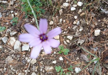
52 photos in total. Please click on a photo to see them all in the gallery.

Walking

Walking

Walking

Walking

Walking

Walking
Walking
Walking
Walking