


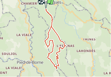

11.4 km | 14.4 km-effort

User


FREE GPS app for hiking
 SityTrail
IGN / Geographical institutes
SityTrail World
The world is yours!
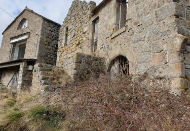
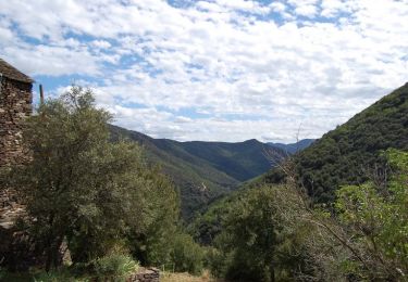
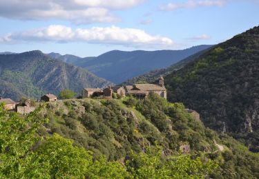
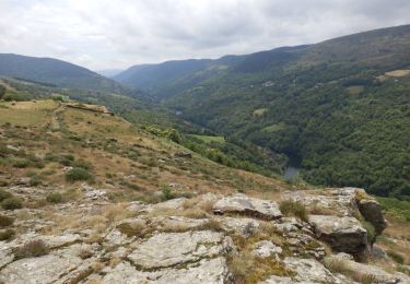
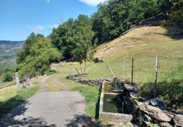
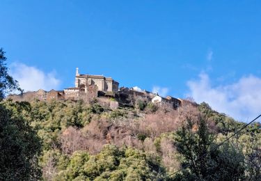
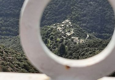
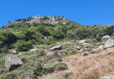
Trail Walking of 16.1 km to be discovered at Auvergne-Rhône-Alpes, Ardèche, Montselgues. This trail is proposed by matrixe07.
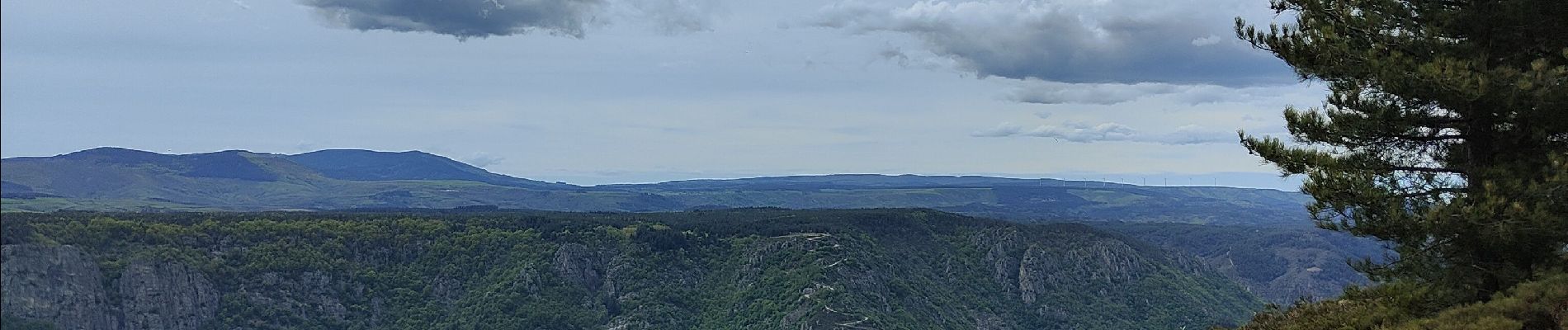
tour sur le plateau de 16 km très facile. Superbe point de vue sur l Isère et le mont Ventoux et de l autre vu sur le lac de ville fort et son plateau'


Walking
Walking
Walking
Walking
Walking

Walking
Walking
Walking
Walking