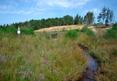
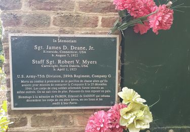
8.3 km | 11.9 km-effort
m-belgie-vaste-mtbroute-dochamps
gpstracks
User
Length
12.1 km
Max alt
508 m
Uphill gradient
377 m
Km-Effort
17.1 km
Min alt
328 m
Downhill gradient
382 m
Boucle
Yes
Creation date :
2014-12-10 00:00:00.0
Updated on :
2014-12-10 00:00:00.0
--
Difficulty : Unknown
FREE GPS app for hiking
About
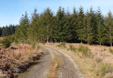
Trail Mountain bike of 12.1 km to be discovered at Wallonia, Luxembourg, Manhay. This trail is proposed by gpstracks.
Description
More information on GPStracks.nl : http://www.gpstracks.nl
Positioning
Country:
Belgium
Region :
Wallonia
Department/Province :
Luxembourg
Municipality :
Manhay
Location:
Dochamps
Start:(Dec)
Start:(UTM)
686372 ; 5568254 (31U) N.
Comments
Trails nearby
Erezée - Circuit Natura 2000 "Des sites qui valent le détour" - Lx18
Walking
Medium
(7)
Manhay,
Wallonia,
Luxembourg,
Belgium
2h 30min
No
Odeigne, Natura 2000 - Des sites qui valent le détour. Lx10
Walking
Easy
(5)
Manhay,
Wallonia,
Luxembourg,
Belgium
8.8 km | 10.9 km-effort
2h 23min
Yes
rando samrée 26/11/2020
Walking
Medium
(3)
La Roche-en-Ardenne,
Wallonia,
Luxembourg,
Belgium
19 km | 25 km-effort
4h 44min
Yes
rando amonines 26/10/2020
Walking
Medium
(1)
Érezée,
Wallonia,
Luxembourg,
Belgium
13.3 km | 18 km-effort
3h 2min
Yes
Samree-maboge-Samree
Walking
(1)
La Roche-en-Ardenne,
Wallonia,
Luxembourg,
Belgium
15.2 km | 21 km-effort
3h 36min
Yes
Balade à Samrée
Walking
Very easy
(1)
La Roche-en-Ardenne,
Wallonia,
Luxembourg,
Belgium
11.2 km | 15.7 km-effort
4h 30min
Yes
Un petit tour dans les fagnes de la goutte en partant de Samree
Walking
(2)
La Roche-en-Ardenne,
Wallonia,
Luxembourg,
Belgium
14.6 km | 18.5 km-effort
3h 0min
Yes
très belle
Walking
Very easy
(1)
La Roche-en-Ardenne,
Wallonia,
Luxembourg,
Belgium
22 km | 31 km-effort
4h 49min
Yes
RF-Lu-04 En surplomb de l'ancienne ligne SNCV de l'Aisne : Dochamps
Walking
Very easy
(4)
Manhay,
Wallonia,
Luxembourg,
Belgium
14.4 km | 19.2 km-effort
4h 5min
Yes