25 km | 31 km-effort
m-belgie-moutainbike-tocht-chenefleur
gpstracks
User
Length
28 km
Max alt
395 m
Uphill gradient
460 m
Km-Effort
34 km
Min alt
236 m
Downhill gradient
458 m
Boucle
Yes
Creation date :
2014-12-10 00:00:00.0
Updated on :
2014-12-10 00:00:00.0
--
Difficulty : Unknown
FREE GPS app for hiking
About
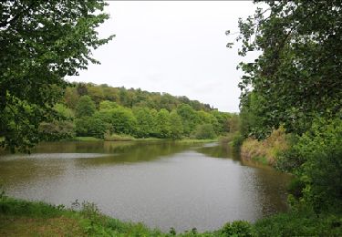
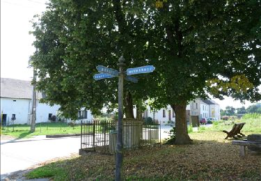
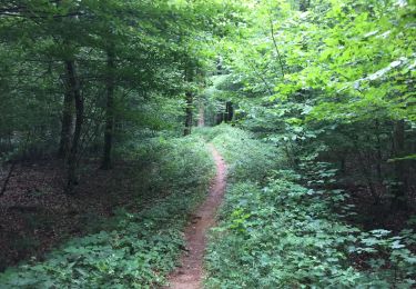
Trail Mountain bike of 28 km to be discovered at Wallonia, Luxembourg, Tintigny. This trail is proposed by gpstracks.
Description
More information on GPStracks.nl : http://www.gpstracks.nl
Positioning
Country:
Belgium
Region :
Wallonia
Department/Province :
Luxembourg
Municipality :
Tintigny
Location:
Tintigny
Start:(Dec)
Start:(UTM)
681910 ; 5506628 (31U) N.
Comments
Trails nearby
Marbehan. Natura 2000, des sites qui valent le détour. Lx4
Walking
Easy
(3)
Habay,
Wallonia,
Luxembourg,
Belgium
10 km | 12.4 km-effort
2h 41min
Yes
Sentier des mardelles
Walking
Easy
(1)
Étalle,
Wallonia,
Luxembourg,
Belgium
3.7 km | 4.2 km-effort
1h 0min
Yes
ADEPS à Saint-Vincent.
Walking
Medium
(1)
Tintigny,
Wallonia,
Luxembourg,
Belgium
9.4 km | 11 km-effort
1h 45min
Yes
À l’ombre de la forêt gaumaise
Walking
Easy
(4)
Tintigny,
Wallonia,
Luxembourg,
Belgium
14.6 km | 17 km-effort
2h 49min
Yes
La Rando du Bian: Autour de Lahage
Walking
Easy
(1)
Tintigny,
Wallonia,
Luxembourg,
Belgium
18.8 km | 22 km-effort
3h 58min
Yes
Marche ADEPS 10km600 à Rulles
Walking
Easy
(1)
Habay,
Wallonia,
Luxembourg,
Belgium
10.6 km | 13.2 km-effort
2h 7min
Yes
Marche 10 km 400 à Marbehan.
Walking
Difficult
Habay,
Wallonia,
Luxembourg,
Belgium
10.3 km | 12.9 km-effort
2h 1min
Yes
Marche ADEPS 10 Km à Rulles.
Walking
Easy
Habay,
Wallonia,
Luxembourg,
Belgium
9.9 km | 12.3 km-effort
2h 5min
Yes