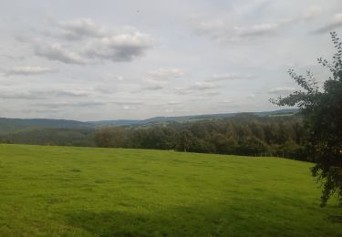
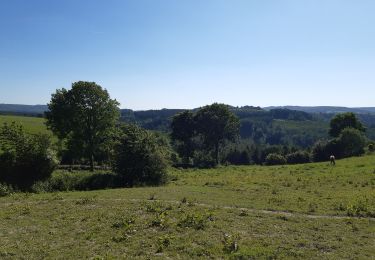
6.1 km | 8.9 km-effort
Belgie - Annemarie MTB route 1
gpstracks
User
Length
27 km
Max alt
571 m
Uphill gradient
913 m
Km-Effort
39 km
Min alt
167 m
Downhill gradient
916 m
Boucle
Yes
Creation date :
2014-12-10 00:00:00.0
Updated on :
2014-12-10 00:00:00.0
--
Difficulty : Unknown
FREE GPS app for hiking
About
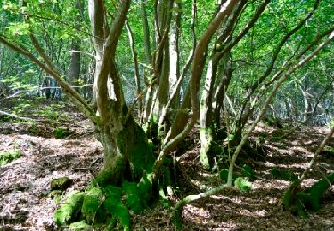
Trail Mountain bike of 27 km to be discovered at Wallonia, Liège, Stoumont. This trail is proposed by gpstracks.
Description
More information on GPStracks.nl : http://www.gpstracks.nl
Positioning
Country:
Belgium
Region :
Wallonia
Department/Province :
Liège
Municipality :
Stoumont
Location:
Rahier
Start:(Dec)
Start:(UTM)
696754 ; 5587863 (31U) N.
Comments
Trails nearby
Lorcé, Natura 2000 - Des sites qui valent le détour, Lg13
Walking
Easy
(7)
Stoumont,
Wallonia,
Liège,
Belgium
1h 57min
Yes
RB-Lg-14 - Raccourci
Walking
Very difficult
(5)
Stoumont,
Wallonia,
Liège,
Belgium
17 km | 24 km-effort
5h 28min
Yes
RB-LG-13 - Par monts et par vaux autour de Stoumont
Walking
Very difficult
(11)
Stoumont,
Wallonia,
Liège,
Belgium
23 km | 32 km-effort
7h 19min
Yes
2022-02-03_17h52m52_StoumontP14PromenadedessommetsdelaLienne
Walking
Medium
(2)
Stoumont,
Wallonia,
Liège,
Belgium
16.1 km | 23 km-effort
5h 11min
Yes
lorcé . suf la lienne . Chevron . lorcé
Walking
Very easy
(1)
Stoumont,
Wallonia,
Liège,
Belgium
15.9 km | 22 km-effort
5h 41min
Yes
RB-Lg-14 - De point de vue en point de vue autour de Lorcé
Walking
Very difficult
(4)
Stoumont,
Wallonia,
Liège,
Belgium
22 km | 30 km-effort
6h 53min
Yes
10km sous la pluie autour de Lorcé
Walking
Easy
(1)
Stoumont,
Wallonia,
Liège,
Belgium
10.6 km | 14.1 km-effort
2h 47min
Yes
ST12 Lorcé . Chession . Lorcé
Walking
Easy
(1)
Stoumont,
Wallonia,
Liège,
Belgium
12.7 km | 17.7 km-effort
4h 28min
No
stoumont . corniche - congo . chateau froidcourt . ambleve . stoumont
Walking
Very easy
(1)
Stoumont,
Wallonia,
Liège,
Belgium
9.1 km | 12.1 km-effort
2h 44min
Yes