


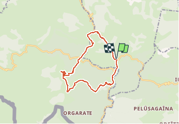

7.9 km | 13.4 km-effort


User


FREE GPS app for hiking
 SityTrail
IGN / Geographical institutes
SityTrail World
The world is yours!
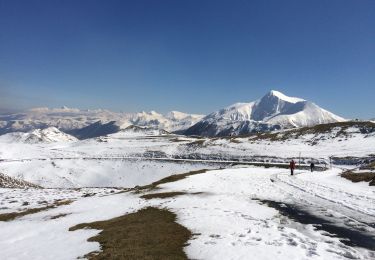
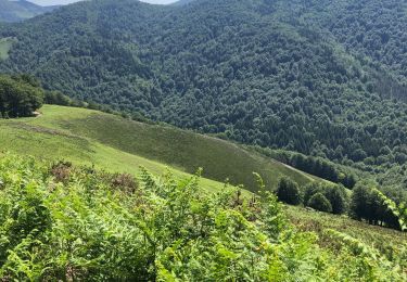
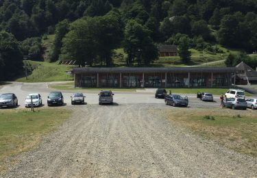
Trail Walking of 15 km to be discovered at New Aquitaine, Pyrénées-Atlantiques, Mendive. This trail is proposed by pacha56.
Boucle au départ du chalet d'Iraty Cize, en passant par col de Burdinkurutxeta, les crêtes du Saroberri, col de Sourzay, nécropole d'Occabe, sommet de l'Occabe et GR10 au retour
Walking

Walking
Walking
Walking

Walking
Walking
Walking

Walking
Walking