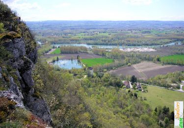
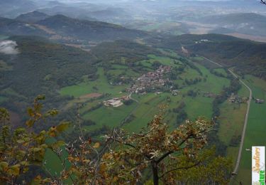
Trail Mountain bike Prémeyzel - Fays, Izieu - Photo
© OpenStreetMap contributors
Length
Length
24 km
Max alt
Max alt
758 m
Uphill gradient
Uphill gradient
1122 m
Km-Effort
Km-Effort  
39 km
Min alt
Min alt
288 m
Downhill gradient
Downhill gradient
1121 m
Boucle
Boucle
Yes
Creation date :
2021-05-20 15:38:40.0
Updated on :
2022-09-13 13:42:06.092

(0 Reviews)

Mountain bike
Mountain bike
2h08
Difficulty : Difficult

Scan this QR Code to open this trail in the SityTrail application

FREE GPS app for hiking

Logo SityTrail SityTrail

IGN / Geographical institutes

Download SityTrail from the App Store Download SityTrail from Google Play

Logo SityTrail SityTrail World

The world is yours!

Download SityTrail from the App Store Download SityTrail from Google Play Download SityTrail on Huawei AppGallery

About

Trail Mountain bike of 24 km to be discovered at Auvergne-Rhône-Alpes, Ain, Prémeyzel. This trail is proposed by sandrine-s01.

Description

Full Elec avec Malc et Laurent.
Trop dur de suivre

Elevation profile

Positioning

Country:
France
Region :
Auvergne-Rhône-Alpes
Department/Province :
Ain
Municipality :
Prémeyzel
Location:
Unknown
Start:(UTM)
704645 ; 5060709 (31T) N.

Trails nearby

Trail Mountain bike Arboys-en-Bugey - St Boit-La Graye-cascade de Glandieu - Photo
Mountain bike
jeannot01

Mountain bike

Difficult
(1)
Arboys-en-Bugey, Auvergne-Rhône-Alpes, Ain, France
25 km | 35 km-effort
2h 16min
Yes
Trail Motor Arboys-en-Bugey - Rando remise en forme - Photo
Motor
lescimes260

Motor

Easy
(1)
Arboys-en-Bugey, Auvergne-Rhône-Alpes, Ain, France
16.3 km | 28 km-effort
2h 0min
No
Trail Horseback riding Peyrieu - peyrieu Izieu valide cavaliersp - Photo
Horseback riding
Nolene

Horseback riding

Medium
Peyrieu, Auvergne-Rhône-Alpes, Ain, France
21 km | 27 km-effort
1h 8min
Yes
Trail Horseback riding Champagneux - 202206 boucle Gourjux - Photo
Horseback riding
xhakon

Horseback riding

Medium
Champagneux, Auvergne-Rhône-Alpes, Savoy, France
27 km | 34 km-effort
5h 0min
Yes
Trail Walking Brégnier-Cordon - Cascade de glandieu, grand Thur en boucle dans l'Ain  - Photo
Walking
GuyCharvier

Walking

Medium
Brégnier-Cordon, Auvergne-Rhône-Alpes, Ain, France
17.9 km | 28 km-effort
7h 6min
No
Trail Hybrid bike Brégnier-Cordon - 01-vtt-viarhona-Bregnier-Cordon-2-boucles 30km et 20km - Photo
Hybrid bike
SyMA

Hybrid bike

Medium
Brégnier-Cordon, Auvergne-Rhône-Alpes, Ain, France
51 km | 56 km-effort
3h 20min
Yes
Trail Walking Brégnier-Cordon - Tour du Mont de Cordon - Photo
Walking
tracegps

Walking

Easy
Brégnier-Cordon, Auvergne-Rhône-Alpes, Ain, France
7.3 km | 10.5 km-effort
2h 0min
Yes
Trail Walking Izieu - Le Grand Thur, Izieu - Photo
Walking
tracegps

Walking

Easy
Izieu, Auvergne-Rhône-Alpes, Ain, France
5.8 km | 9.9 km-effort
2h 30min
Yes
Trail Walking Brégnier-Cordon - La Croix de Saint-Clair, retour par Lambra - Photo
Walking
tracegps

Walking

Medium
Brégnier-Cordon, Auvergne-Rhône-Alpes, Ain, France
6.5 km | 10.7 km-effort
2h 30min
Yes


Close
My subscriptions