11.2 km | 15.7 km-effort
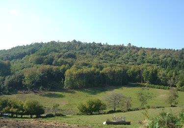
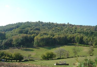
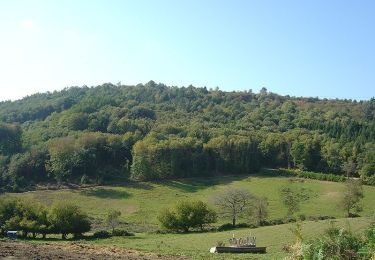
mont Gargand sentier découverte
jeanjean37
User
Length
2.9 km
Max alt
729 m
Uphill gradient
112 m
Km-Effort
4.4 km
Min alt
659 m
Downhill gradient
113 m
Boucle
Yes
Creation date :
2021-05-14 07:48:17.846
Updated on :
2021-05-17 18:35:14.193
1h11
Difficulty : Very easy
FREE GPS app for hiking
About
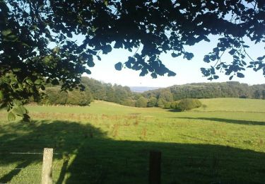
Trail Walking of 2.9 km to be discovered at New Aquitaine, Haute-Vienne, Saint-Gilles-les-Forêts. This trail is proposed by jeanjean37.
Positioning
Country:
France
Region :
New Aquitaine
Department/Province :
Haute-Vienne
Municipality :
Saint-Gilles-les-Forêts
Location:
Unknown
Start:(Dec)
Start:(UTM)
394725 ; 5052311 (31T) N.
Comments
Trails nearby
Circuit le tour du mont Gargan - La Croisille sur Briance
Equestrian
Difficult
La Croisille-sur-Briance,
New Aquitaine,
Haute-Vienne,
France
21 km | 28 km-effort
3h 0min
Yes
Circuit le tour du mont Gargan - La Croisille sur Briance
Mountain bike
Difficult
La Croisille-sur-Briance,
New Aquitaine,
Haute-Vienne,
France
21 km | 28 km-effort
2h 0min
Yes
Circuit le tour du mont Gargan - La Croisille sur Briance
Walking
Difficult
La Croisille-sur-Briance,
New Aquitaine,
Haute-Vienne,
France
21 km | 28 km-effort
5h 30min
Yes
Chamberet
Walking
Difficult
Chamberet,
New Aquitaine,
Corrèze,
France
12.8 km | 17.6 km-effort
5h 7min
Yes
Chamberet- Saint-Dulcet
Walking
Easy
Chamberet,
New Aquitaine,
Corrèze,
France
8.7 km | 11 km-effort
2h 22min
Yes
Mont Gargant
Walking
Difficult
La Croisille-sur-Briance,
New Aquitaine,
Haute-Vienne,
France
23 km | 31 km-effort
7h 0min
Yes
Le parcours ne presente pas de difficulté particuliere saul la deriere montée...
Walking
Very easy
(2)
Saint-Gilles-les-Forêts,
New Aquitaine,
Haute-Vienne,
France
12.4 km | 16.4 km-effort
3h 30min
Yes
mont gargan
Walking
Easy
Saint-Gilles-les-Forêts,
New Aquitaine,
Haute-Vienne,
France
1.7 km | 2.3 km-effort
32min
Yes