


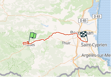

13.5 km | 17.2 km-effort


User


FREE GPS app for hiking
 SityTrail
IGN / Geographical institutes
SityTrail World
The world is yours!
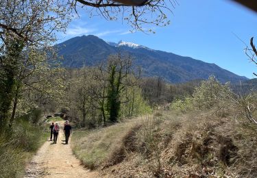
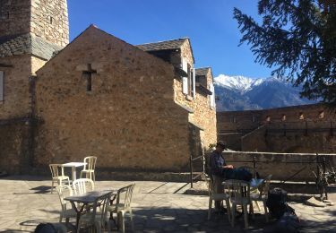
Trail Walking of 75 km to be discovered at Occitania, Pyrénées-Orientales, Catllar. This trail is proposed by HENRYLESTEL.
rando ludique avec orris et dolmens visuels extras,assez facile mais ne pas faire par grosses chaleurs.

Walking

Motor

Mountain bike
Walking
Walking

Walking
Walking
Walking
Walking