


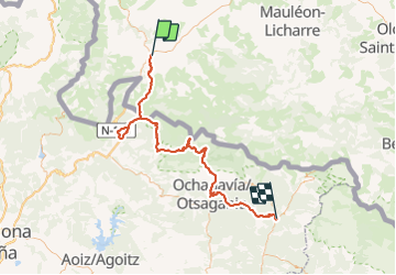


25 km | 41 km-effort


User


FREE GPS app for hiking
 SityTrail
IGN / Geographical institutes
SityTrail World
The world is yours!
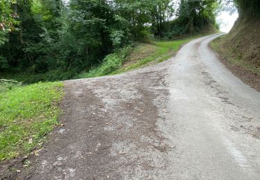
Trail Walking of 100 km to be discovered at New Aquitaine, Pyrénées-Atlantiques, Saint-Jean-Pied-de-Port. This trail is proposed by gpstracks.
More information on GPStracks.nl : http://www.gpstracks.nl
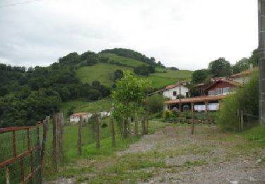
Walking
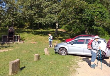
Walking

Nordic walking

Walking
Walking

Walking

Walking

Walking
Walking