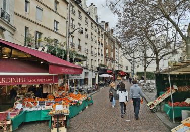
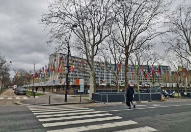
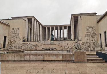
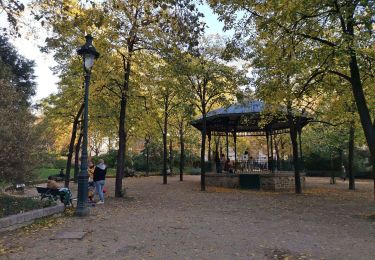
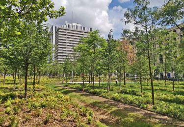
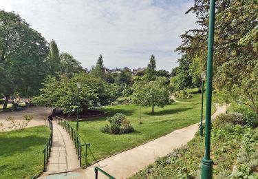
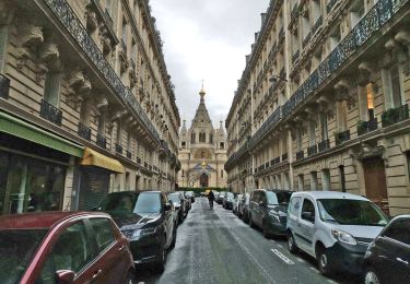
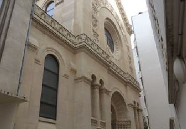
Trail Walking Paris - Le Parcours des Années 30 - Photo

Le Parcours des Années 30

partout a pied et en moto

© OpenStreetMap contributors
Length
Length
14.9 km
Max alt
Max alt
66 m
Uphill gradient
Uphill gradient
141 m
Km-Effort
Km-Effort  
16.8 km
Min alt
Min alt
33 m
Downhill gradient
Downhill gradient
141 m
Boucle
Boucle
Yes
Creation date :
2021-05-16 08:58:22.121
Updated on :
2023-09-12 13:21:58.78

(0 Reviews)

Walking
Walking
3h48
Difficulty : Difficult

Scan this QR Code to open this trail in the SityTrail application

FREE GPS app for hiking

Logo SityTrail SityTrail

IGN / Geographical institutes

Download SityTrail from the App Store Download SityTrail from Google Play

Logo SityTrail SityTrail World

The world is yours!

Download SityTrail from the App Store Download SityTrail from Google Play Download SityTrail on Huawei AppGallery

About

Trail Walking of 14.9 km to be discovered at Ile-de-France, Paris, Paris. This trail is proposed by les randos d'Olivier.
Elevation profile

Points of interest

Point of interest Boulogne-Billancourt - Sation Boulogne-Jean Jaurès - Métro ligne 10 - Photo
olivieraron
BOULOGNE-BILLANCOURT 
Point of interest Boulogne-Billancourt - Rue Gambetta (fin du tronçon n°3) - Photo
olivieraron
BOULOGNE-BILLANCOURT 
Point of interest Boulogne-Billancourt - Rue des Pins (début du tronçon n°3) - Photo
olivieraron
BOULOGNE-BILLANCOURT 
Point of interest Boulogne-Billancourt - Rue de la Tourelle (début du tronçon n°2) - Photo
olivieraron
BOULOGNE-BILLANCOURT 
Point of interest Boulogne-Billancourt - Rue Galliéni (début liaison tronçons n°1 et 2) - Photo
olivieraron
BOULOGNE-BILLANCOURT 
Point of interest Boulogne-Billancourt - Métro ligne 9 - Photo
olivieraron
BOULOGNE-BILLANCOURT 

Positioning

Country:
France
Region :
Ile-de-France
Department/Province :
Paris
Municipality :
Paris
Location:
16th Arrondissement
Start:(UTM)
446462 ; 5411654 (31U) N.

Trails nearby

Trail Walking Paris - DP75-14 De Sèvres-Babylone au square Saint-Médard - Photo
Walking
clalaur

Walking

Easy
(1)
Paris, Ile-de-France, Paris, France
5 km | 5.8 km-effort
1h 18min
No
Trail Walking Paris - DP75-13 De Vaugirard à Sèvres-Babylone - Photo
Walking
clalaur

Walking

Easy
(1)
Paris, Ile-de-France, Paris, France
4.4 km | 5 km-effort
1h 8min
No
Trail Walking Paris - DP75-11 De Boulainvilliers à pont du Garigliano - Photo
Walking
clalaur

Walking

Easy
(1)
Paris, Ile-de-France, Paris, France
4.7 km | 5.4 km-effort
1h 13min
No
Trail Walking Paris - DP75-10 De Invalides à Boulainvilliers - Photo
Walking
clalaur

Walking

Very easy
(1)
Paris, Ile-de-France, Paris, France
5.5 km | 7.1 km-effort
1h 36min
No
Trail Walking Paris - DP75-01 de Monceau à Guy Môquet - Photo
Walking
clalaur

Walking

Easy
(1)
Paris, Ile-de-France, Paris, France
3.9 km | 4.5 km-effort
1h 1min
No
Trail Walking Paris - DP75-32 De Charles-Michel à Plaisance - Photo
Walking
clalaur

Walking

Easy
(1)
Paris, Ile-de-France, Paris, France
4.3 km | 5.1 km-effort
1h 10min
No
Trail Walking Paris - DP75-31 De Passy à Charles-Michel - Photo
Walking
clalaur

Walking

Easy
(1)
Paris, Ile-de-France, Paris, France
4.5 km | 5.6 km-effort
1h 16min
No
Trail Walking Paris - DP75-19 de Porte-Maillot à Europe - Photo
Walking
clalaur

Walking

Easy
(1)
Paris, Ile-de-France, Paris, France
4.2 km | 4.8 km-effort
1h 5min
No
Trail Cycle Paris - Paris au bord de Seine - Photo
Cycle
aurel911

Cycle

Very easy
(1)
Paris, Ile-de-France, Paris, France
11.4 km | 14.2 km-effort
46min
No


Close
My subscriptions