23 km | 28 km-effort
w-frankrijk-la-boucle-du-vanneg
gpstracks
User
Length
9 km
Max alt
69 m
Uphill gradient
155 m
Km-Effort
11.1 km
Min alt
2 m
Downhill gradient
154 m
Boucle
Yes
Creation date :
2014-12-10 00:00:00.0
Updated on :
2014-12-10 00:00:00.0
--
Difficulty : Unknown
FREE GPS app for hiking
About
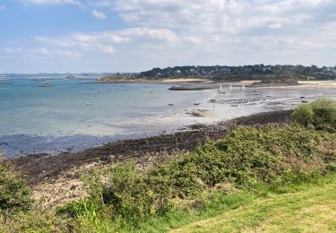
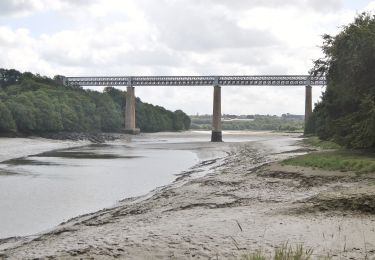
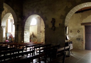
Trail Walking of 9 km to be discovered at Brittany, Finistère, Henvic. This trail is proposed by gpstracks.
Description
More information on GPStracks.nl : http://www.gpstracks.nl
Points of interest
Positioning
Country:
France
Region :
Brittany
Department/Province :
Finistère
Municipality :
Henvic
Location:
Unknown
Start:(Dec)
Start:(UTM)
431658 ; 5387051 (30U) N.
Comments
Trails nearby
le frout - ile calot 23,km
Other activity
Very easy
(2)
Carantec,
Brittany,
Finistère,
France
6h 4min
Yes
Bretagne nord J3am - Plouénan - Carantec
Walking
Very easy
Plouénan,
Brittany,
Finistère,
France
9 km | 10.9 km-effort
2h 10min
No
Autour de Carantec ( GR34)
Walking
Easy
Carantec,
Brittany,
Finistère,
France
13.3 km | 15.8 km-effort
4h 14min
Yes
30.08.23 Carantec -- Roscoff
Walking
Very difficult
Carantec,
Brittany,
Finistère,
France
23 km | 26 km-effort
5h 54min
No
kermen à Goulven
Bicycle tourism
Difficult
Carantec,
Brittany,
Finistère,
France
53 km | 59 km-effort
4h 41min
No
Tour de l'île Callot
Walking
Easy
Carantec,
Brittany,
Finistère,
France
9.9 km | 11.4 km-effort
3h 9min
Yes
Boucle du Vanneg
On foot
Easy
Henvic,
Brittany,
Finistère,
France
9.2 km | 11.4 km-effort
2h 34min
Yes
Circuit du Phare de la Lande
On foot
Easy
Locquénolé,
Brittany,
Finistère,
France
7.9 km | 10.1 km-effort
2h 17min
Yes