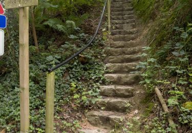
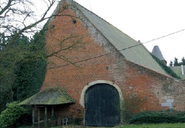
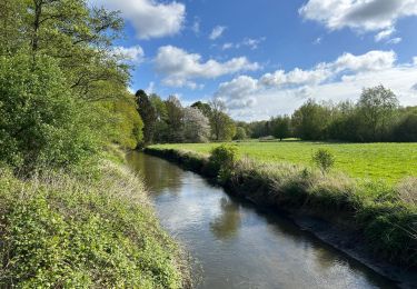
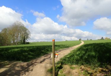
Trail Walking Grez-Doiceau - w-belgie-le-bercuit - Photo
© OpenStreetMap contributors
Length
Length
6.9 km
Max alt
Max alt
126 m
Uphill gradient
Uphill gradient
150 m
Km-Effort
Km-Effort  
8.9 km
Min alt
Min alt
50 m
Downhill gradient
Downhill gradient
145 m
Boucle
Boucle
Yes
Creation date :
2014-12-10 00:00:00.0
Updated on :
2014-12-10 00:00:00.0

(2 Reviews)

Walking
Walking
--
Difficulty : Unknown

Scan this QR Code to open this trail in the SityTrail application

FREE GPS app for hiking

Logo SityTrail SityTrail

IGN / Geographical institutes

Download SityTrail from the App Store Download SityTrail from Google Play

Logo SityTrail SityTrail World

The world is yours!

Download SityTrail from the App Store Download SityTrail from Google Play Download SityTrail on Huawei AppGallery

About

Trail Walking of 6.9 km to be discovered at Wallonia, Walloon Brabant, Grez-Doiceau. This trail is proposed by gpstracks.

Description

More information on GPStracks.nl : http://www.gpstracks.nl

Elevation profile

Points of interest

Point of interest Grez-Doiceau - START - Photo
gpstracks
GREZ-DOICEAU 

Positioning

Country:
Belgium
Region :
Wallonia
Department/Province :
Walloon Brabant
Municipality :
Grez-Doiceau
Location:
Grez-Doiceau
Start:(UTM)
617467 ; 5621068 (31U) N.

Comments

Please log in to post a review or rate the element


Parfait compagnon de promenade


Trails nearby

Trail Walking Grez-Doiceau - GG-Bw-01_Archennes - Wavre - Photo
Walking
PRO

Walking

Very difficult
(7)
Grez-Doiceau, Wallonia, Walloon Brabant, Belgium
23 km | 28 km-effort
5h 59min
No
Trail Walking Grez-Doiceau - RB-BW-04 - À la rencontre du Train et de ses affluents - Photo
Walking
PRO

Walking

Easy
(9)
Grez-Doiceau, Wallonia, Walloon Brabant, Belgium
24 km | 29 km-effort
6h 10min
Yes
Trail Walking Grez-Doiceau - RB-BW-04 - raccourci - À la rencontre du Train et de ses affluents - Photo
Walking
PRO

Walking

Easy
(9)
Grez-Doiceau, Wallonia, Walloon Brabant, Belgium
16.3 km | 19.2 km-effort
4h 10min
Yes
Trail Walking Chaumont-Gistoux - De Dion-le Mont à Dion-le Val par la vallée du Pisselet - Photo
Walking
GUIDE
Desrumaux

Walking

Very easy
(8)
Chaumont-Gistoux, Wallonia, Walloon Brabant, Belgium
8.6 km | 10.3 km-effort
2h 0min
Yes
Trail Walking Wavre - RB-BW-07 - Des montagnes russes près de Wavre - Photo
Walking
PRO

Walking

Medium
(4)
Wavre, Wallonia, Walloon Brabant, Belgium
27 km | 34 km-effort
7h 5min
Yes
Trail Walking Overijse - #230220 - Terlanen, Schaatbroekbos, GR579 - Photo
Walking
Randos Ouvertes

Walking

Medium
(2)
Overijse, Flanders, Flemish Brabant, Belgium
7.2 km | 8.4 km-effort
1h 55min
Yes
Trail Walking Grez-Doiceau - #221104 - Florival > Pécrot, GRP127 - Photo
Walking
Randos Ouvertes

Walking

Medium
(2)
Grez-Doiceau, Wallonia, Walloon Brabant, Belgium
7 km | 8.4 km-effort
1h 55min
Yes
Trail Walking Chaumont-Gistoux - #210507 Dion-le-Mont, Pisselet et Louvranges - Photo
Walking
Randos Ouvertes

Walking

Medium
(1)
Chaumont-Gistoux, Wallonia, Walloon Brabant, Belgium
6.5 km | 7.9 km-effort
2h 12min
Yes
Trail Walking Grez-Doiceau - #210224 - Rés. nat. Florival, étang de Pécrot, Sept Bonniers - Photo
Walking
Randos Ouvertes

Walking

Medium
(3)
Grez-Doiceau, Wallonia, Walloon Brabant, Belgium
7.1 km | 8.4 km-effort
1h 54min
Yes


Close
My subscriptions