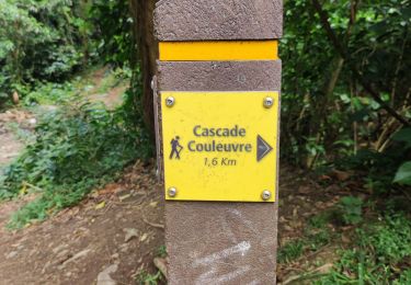
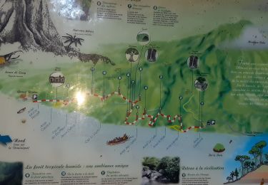
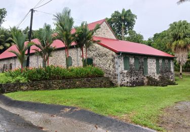
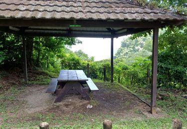
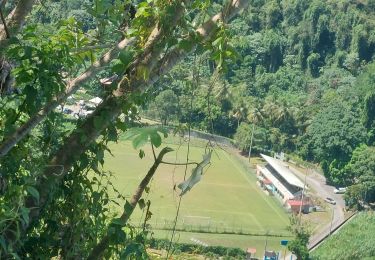
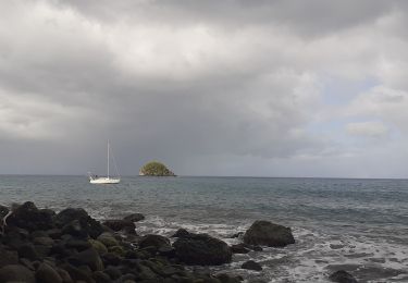
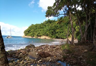
Trail Walking Grand'Rivière - Boucle Grand'Riviere - Rivière Trois Bras. - Photo

Boucle Grand'Riviere - Rivière Trois Bras.

 Lamartiniere
Lamartiniere

User GUIDE

© OpenStreetMap contributors
Length
Length
14.4 km
Max alt
Max alt
369 m
Uphill gradient
Uphill gradient
915 m
Km-Effort
Km-Effort  
27 km
Min alt
Min alt
0 m
Downhill gradient
Downhill gradient
949 m
Boucle
Boucle
Yes
Creation date :
2021-05-13 10:09:30.951
Updated on :
2021-05-13 23:44:32.242

(2 Reviews)

Walking
Walking
6h00
Difficulty : Medium

Scan this QR Code to open this trail in the SityTrail application

FREE GPS app for hiking

Logo SityTrail SityTrail

IGN / Geographical institutes

Download SityTrail from the App Store Download SityTrail from Google Play

Logo SityTrail SityTrail World

The world is yours!

Download SityTrail from the App Store Download SityTrail from Google Play Download SityTrail on Huawei AppGallery

About

Trail Walking of 14.4 km to be discovered at Martinique, Unknown, Grand'Rivière. This trail is proposed by Lamartiniere.

Elevation profile

Photos

27 photos in total. Please click on a photo to see them all in the gallery.

Positioning

Country:
France
Region :
Martinique
Department/Province :
Unknown
Municipality :
Grand'Rivière
Location:
Unknown
Start:(UTM)
695660 ; 1645062 (20P) N.

Comments

Please log in to post a review or rate the element


Merci pour ce partage !


La boucle Grand'Riviere - Rivière Trois Bras de 14 kms est magnifique et variée. Du côté de Fond Moulin, vous êtes prés le littoral et du côté de Petit Morne vous dans les terres avec une végétation plus touffue et plus humide. vous côtoyez de grands et magnifiques arbres, ainsi que le secteur du "bwa lélé". Possibilité de vous rafraîchir à Rivière Trois Bras, de rencontrer mygales, cochons sauvages et autres. De retour, vous pouvez vous baigner soit à la plage de Sinai voire également à la rivière dans le bassin des hommes ou bassin kako.


Trails nearby

Trail Walking Le Prêcheur - Cascade de l'anse Couleuvre, depuis anse Céron en aller-retour ! - Photo
Walking
GUIDE
GabyG

Walking

Difficult
Le Prêcheur, Martinique, Unknown, France
3.6 km | 7.2 km-effort
2h 0min
No
Trail Walking Grand'Rivière - Boucle  Malakoff - Grand-Riviere - Photo
Walking
GUIDE
Lamartiniere

Walking

Medium
Grand'Rivière, Martinique, Unknown, France
9.2 km | 13.9 km-effort
5h 56min
Yes
Trail Walking Le Prêcheur - Traces des Anses - Photo
Walking
GUIDE
Lamartiniere

Walking

Easy
Le Prêcheur, Martinique, Unknown, France
4.7 km | 7.2 km-effort
2h 0min
Yes
Trail Walking Macouba - Boucle Macouba 3 - Photo
Walking
GUIDE
Lamartiniere

Walking

Medium
Macouba, Martinique, Unknown, France
10.6 km | 15.2 km-effort
4h 8min
Yes
Trail Walking Grand'Rivière - PRÊCHEUR - PRÊCHEUR  - Photo
Walking
Mabouya0462

Walking

Difficult
Grand'Rivière, Martinique, Unknown, France
6.5 km | 11.8 km-effort
2h 6min
Yes
Trail Walking Grand'Rivière - Grand Rivière/boucle de fond potiche - Photo
Walking
chichine

Walking

Medium
Grand'Rivière, Martinique, Unknown, France
6 km | 8.6 km-effort
2h 43min
Yes
Trail Walking Le Prêcheur - Anse couleuvre Grand Rivière  - Photo
Walking
tercla

Walking

Very difficult
Le Prêcheur, Martinique, Unknown, France
15.8 km | 28 km-effort
6h 0min
No
Trail Walking Le Prêcheur - Cascade Couleuvre - Photo
Walking
GUIDE
David25400

Walking

Very easy
Le Prêcheur, Martinique, Unknown, France
5.9 km | 10.1 km-effort
6h 1min
Yes
Trail Walking Macouba - Eglise de Macouba - Hbt Bijou D10. - Photo
Walking
GUIDE
Lamartiniere

Walking

Medium
Macouba, Martinique, Unknown, France
6.2 km | 8.3 km-effort
1h 40min
No


Close
My subscriptions