


8.8 km | 10.1 km-effort


User


FREE GPS app for hiking
 SityTrail
IGN / Geographical institutes
SityTrail World
The world is yours!
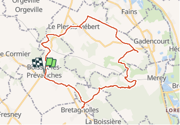
Trail Walking of 20 km to be discovered at Normandy, Eure, Boisset-les-Prévanches. This trail is proposed by phiber76.
Randonnée variée
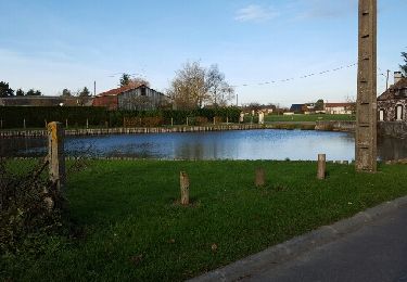
Belles maisons
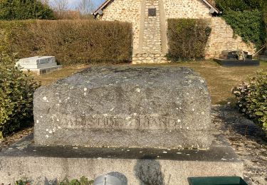
Château de Prévanches à voir (de l'extérieur) absolument
Joli coin pique-nique à Bretagnolles
Sentiers majoritaires, mais un peu de goudron

Walking
Walking
Walking
Walking
Walking
Road bike
Walking
Walking