


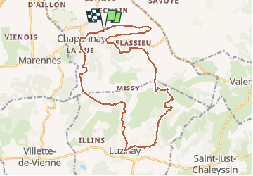

17.1 km | 23 km-effort

User


FREE GPS app for hiking
 SityTrail
IGN / Geographical institutes
SityTrail World
The world is yours!
Trail Walking of 20 km to be discovered at Auvergne-Rhône-Alpes, Rhône, Chaponnay. This trail is proposed by SyMA.
Départ cimetiere de Baleysieu
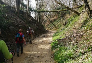
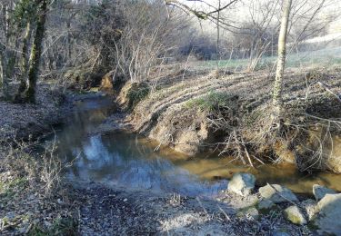
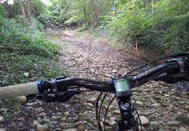
un point délicat descente vers ruisseau de Joux ...tenter plus à droite à14.4km


Walking

Mountain bike
Walking
Mountain bike
Walking
Mountain bike
Mountain bike
Mountain bike

Other activity