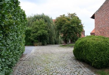
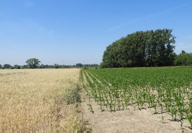
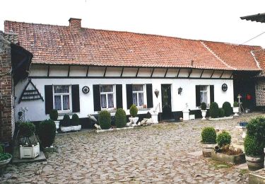
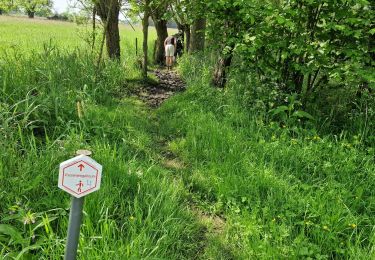
11 km | 11.9 km-effort
ros beiaardroute
oostvlaanderen
User
Length
47 km
Max alt
45 m
Uphill gradient
269 m
Km-Effort
50 km
Min alt
-1 m
Downhill gradient
271 m
Boucle
Yes
Creation date :
2014-12-10 00:00:00.0
Updated on :
2014-12-10 00:00:00.0
--
Difficulty : Unknown
FREE GPS app for hiking
About
Trail Cycle of 47 km to be discovered at Flanders, East Flanders, Lebbeke. This trail is proposed by oostvlaanderen.
Positioning
Country:
Belgium
Region :
Flanders
Department/Province :
East Flanders
Municipality :
Lebbeke
Location:
Wieze
Start:(Dec)
Start:(UTM)
576247 ; 5648022 (31U) N.
Comments
Trails nearby
Kersenwandeling
On foot
Easy
Aalst,
Flanders,
East Flanders,
Belgium
5.1 km | 5.8 km-effort
1h 18min
Yes
Rondom Belle
On foot
Easy
Lebbeke,
Flanders,
East Flanders,
Belgium
6.7 km | 7.1 km-effort
1h 37min
No
Wieze Vossewegelroute
Walking
Medium
Lebbeke,
Flanders,
East Flanders,
Belgium
10.9 km | 11.8 km-effort
2h 39min
Yes
10.000-stappenroute Wieze
On foot
Easy
Lebbeke,
Flanders,
East Flanders,
Belgium
4.2 km | 4.5 km-effort
1h 1min
Yes
Vliegenetersroute
On foot
Easy
Lebbeke,
Flanders,
East Flanders,
Belgium
11.4 km | 12.1 km-effort
2h 44min
Yes
vliegeneters
Walking
Very easy
(1)
Lebbeke,
Flanders,
East Flanders,
Belgium
11.2 km | 11.8 km-effort
Unknown
Yes
Martinus Aalst - Wetteren
Walking
Very difficult
Aalst,
Flanders,
East Flanders,
Belgium
36 km | 39 km-effort
7h 2min
No