


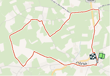


13.4 km | 17.5 km-effort

User GUIDE


FREE GPS app for hiking
 SityTrail
IGN / Geographical institutes
SityTrail World
The world is yours!
Trail Walking of 6.1 km to be discovered at Wallonia, Liège, Olne. This trail is proposed by pierreh01.
Circuit personnel, sans balisage, en boucle au départ du centre sportif de Olne ce dimanche 9 mai 2021 en matinée.


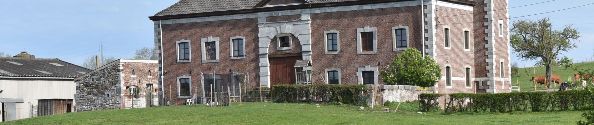
33 photos in total. Please click on a photo to see them all in the gallery.

Walking


Walking

Walking

Walking

Walking

Walking

Walking

Walking