


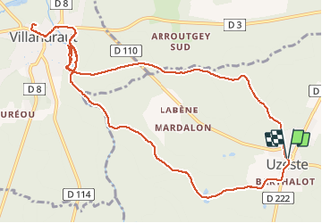

6.2 km | 6.8 km-effort


User


FREE GPS app for hiking
 SityTrail
IGN / Geographical institutes
SityTrail World
The world is yours!
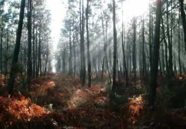
Trail Walking of 13.5 km to be discovered at New Aquitaine, Gironde, Uzeste. This trail is proposed by plavengut.
Boucle dans la forêt et le long du Ciron. Région marquée par le pape Clément V avec les ruines du château de Villandrault et la collégiale d'Uzeste avec son tombeau.
On foot

Canoe - kayak
Walking
Canoe - kayak
Mountain bike

Walking
Walking

Horseback riding
Walking