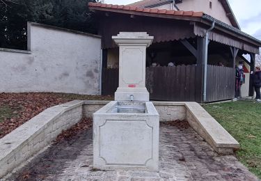
13.6 km | 18.3 km-effort
Morville-sur-Seille, Eply, Raucourt 15 650m +153m
DanielROLLET
User
Length
15.6 km
Max alt
242 m
Uphill gradient
153 m
Km-Effort
17.7 km
Min alt
174 m
Downhill gradient
153 m
Boucle
Yes
Creation date :
2021-05-07 07:30:07.728
Updated on :
2021-05-08 07:42:37.279
4h30
Difficulty : Difficult
FREE GPS app for hiking
About
Trail Walking of 15.6 km to be discovered at Grand Est, Meurthe-et-Moselle, Morville-sur-Seille. This trail is proposed by DanielROLLET.
Description
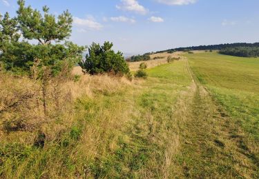
2021 05 07 Reco balisage pour Rando 54 avec Marie.
Beau temps mais venteux et frais.
9h30 à 14h00
Positioning
Country:
France
Region :
Grand Est
Department/Province :
Meurthe-et-Moselle
Municipality :
Morville-sur-Seille
Location:
Unknown
Start:(Dec)
Start:(UTM)
291638 ; 5422145 (32U) N.
Comments
Trails nearby
Manoncourt sur seille
Walking
Easy
Belleau,
Grand Est,
Meurthe-et-Moselle,
France
9.5 km | 11.1 km-effort
4h 3min
Yes
Lesmenils - Le Xon
Walking
Easy
Lesménils,
Grand Est,
Meurthe-et-Moselle,
France
5 km | 6.9 km-effort
2h 10min
Yes
SC3 Circuit les Prés Bas 4 500m + 39m
Walking
Easy
Éply,
Grand Est,
Meurthe-et-Moselle,
France
4.7 km | 5.3 km-effort
1h 3min
Yes
Bouxières sous Froidmont
Walking
Difficult
Bouxières-sous-Froidmont,
Grand Est,
Meurthe-et-Moselle,
France
19.3 km | 26 km-effort
5h 26min
Yes
Sort avec lola
Hybrid bike
Easy
Cheminot,
Grand Est,
Moselle,
France
8.6 km | 9.3 km-effort
49min
Yes
Autour de Cheminot
Mountain bike
Very difficult
Cheminot,
Grand Est,
Moselle,
France
44 km | 52 km-effort
3h 29min
No
Xon - Lesmenils
Walking
Medium
Lesménils,
Grand Est,
Meurthe-et-Moselle,
France
11.7 km | 15.9 km-effort
3h 36min
Yes
9183123-Xon et forêt de Facq
Walking
Difficult
(1)
Lesménils,
Grand Est,
Meurthe-et-Moselle,
France
10.3 km | 13.2 km-effort
3h 0min
Yes