


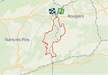

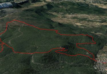
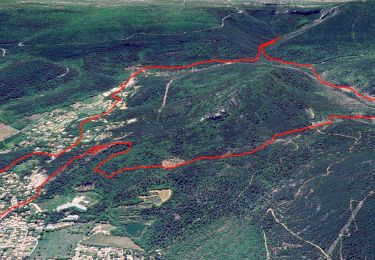
14.8 km | 22 km-effort

User


FREE GPS app for hiking
 SityTrail
IGN / Geographical institutes
SityTrail World
The world is yours!
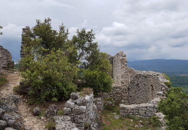
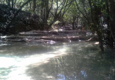
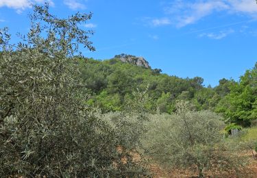
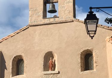
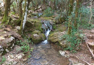
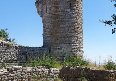
Trail Walking of 14 km to be discovered at Provence-Alpes-Côte d'Azur, Var, Rougiers. This trail is proposed by gaggiroland.
Rougîers longue descente difficile


Walking
Mountain bike
Walking
Walking
Walking
Walking
Walking
On foot
Walking