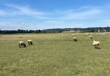
8.6 km | 9.5 km-effort
Pontaubault (50220), Manche, Normandie, France - Bayeux (14400), Calvados, Normandie, France
cyclopat42600
User
Length
77 km
Max alt
305 m
Uphill gradient
865 m
Km-Effort
89 km
Min alt
7 m
Downhill gradient
761 m
Boucle
No
Creation date :
2021-05-06 13:42:28.61
Updated on :
2021-05-06 13:43:19.672
--
Difficulty : Easy
FREE GPS app for hiking
About
Trail Bicycle tourism of 77 km to be discovered at Normandy, Manche, Pontaubault. This trail is proposed by cyclopat42600.
Positioning
Country:
France
Region :
Normandy
Department/Province :
Manche
Municipality :
Pontaubault
Location:
Unknown
Start:(Dec)
Start:(UTM)
621470 ; 5387568 (30U) N.
Comments
Trails nearby
Pontaubault - Roche de Thorin
Walking
Medium
Pontaubault,
Normandy,
Manche,
France
12.6 km | 13.8 km-effort
3h 38min
Yes
Pontaucault - Mont-Saint-Michel
Bicycle tourism
Very difficult
Pontaubault,
Normandy,
Manche,
France
39 km | 42 km-effort
4h 14min
Yes
Véloscénie Ducey Mont St Michel
Bicycle tourism
Very easy
Ducey-les-Chéris,
Normandy,
Manche,
France
33 km | 36 km-effort
2h 51min
No
courtils / Mont St Michel
Walking
Very easy
Courtils,
Normandy,
Manche,
France
9 km | 9.4 km-effort
1h 55min
No
F.DuceyStMalo37H89.369.VTT0
Mountain bike
Medium
Ducey-les-Chéris,
Normandy,
Manche,
France
89 km | 96 km-effort
6h 25min
No
Ducey
Walking
Easy
(1)
Ducey-les-Chéris,
Normandy,
Manche,
France
11.5 km | 12.6 km-effort
2h 47min
Yes