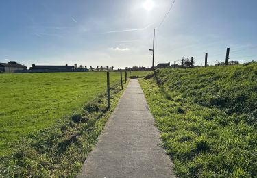
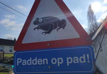
5.2 km | 6.4 km-effort
Nederbrakel Het Toeppad Brakel - 8 km RT
wandelroutes
User
Length
8 km
Max alt
93 m
Uphill gradient
114 m
Km-Effort
9.5 km
Min alt
31 m
Downhill gradient
111 m
Boucle
Yes
Creation date :
2014-12-10 00:00:00.0
Updated on :
2014-12-10 00:00:00.0
--
Difficulty : Unknown
FREE GPS app for hiking
About
Trail Walking of 8 km to be discovered at Flanders, East Flanders, Brakel. This trail is proposed by wandelroutes.
Description
More information on : http://www.wandelroutes.org
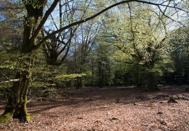
Positioning
Country:
Belgium
Region :
Flanders
Department/Province :
East Flanders
Municipality :
Brakel
Location:
Nederbrakel
Start:(Dec)
Start:(UTM)
553833 ; 5628293 (31U) N.
Comments
Trails nearby
Flobecq, Natura 2000 des sites qui valent le détour. Ht10
Walking
Easy
(1)
Flobecq,
Wallonia,
Hainaut,
Belgium
1h 21min
No
Everbeekpad
On foot
Easy
Brakel,
Flanders,
East Flanders,
Belgium
14.5 km | 16.9 km-effort
3h 50min
Yes
Tweebossenpad
On foot
Easy
Brakel,
Flanders,
East Flanders,
Belgium
10 km | 11.9 km-effort
2h 42min
Yes
Entre La Houppe et Bos Ter Rijst
On foot
Easy
Flobecq,
Wallonia,
Hainaut,
Belgium
12.7 km | 15.5 km-effort
3h 30min
Yes
Dans le Brakelbos
On foot
Easy
Flobecq,
Wallonia,
Hainaut,
Belgium
7.7 km | 10 km-effort
2h 16min
Yes
Entre Everbeek-Boven et le Bois de la Louvière
On foot
Easy
Flobecq,
Wallonia,
Hainaut,
Belgium
9.3 km | 11.5 km-effort
2h 36min
Yes
Sint-Maria-Lierde 22,1 km
Walking
Medium
Lierde,
Flanders,
East Flanders,
Belgium
22 km | 26 km-effort
6h 16min
Yes
geutelingenpad
Walking
Easy
Brakel,
Flanders,
East Flanders,
Belgium
7.7 km | 9.6 km-effort
1h 26min
Yes