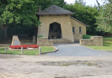
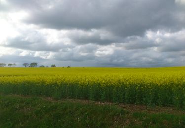
25 km | 31 km-effort
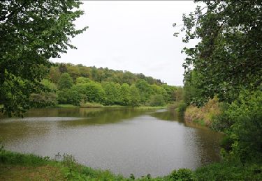
Mellier langs rivier de Mellier - 8 km RT
wandelroutes
User
Length
7.2 km
Max alt
459 m
Uphill gradient
155 m
Km-Effort
9.3 km
Min alt
370 m
Downhill gradient
157 m
Boucle
Yes
Creation date :
2014-12-10 00:00:00.0
Updated on :
2014-12-10 00:00:00.0
--
Difficulty : Unknown
FREE GPS app for hiking
About
Trail Walking of 7.2 km to be discovered at Wallonia, Luxembourg, Léglise. This trail is proposed by wandelroutes.
Description
More information on : http://www.wandelroutes.org
Positioning
Country:
Belgium
Region :
Wallonia
Department/Province :
Luxembourg
Municipality :
Léglise
Location:
Mellier
Start:(Dec)
Start:(UTM)
681411 ; 5515883 (31U) N.
Comments
Trails nearby
Marbehan. Natura 2000, des sites qui valent le détour. Lx4
Walking
Easy
(3)
Habay,
Wallonia,
Luxembourg,
Belgium
10 km | 12.4 km-effort
2h 41min
Yes
Marche 10 km 400 à Marbehan.
Walking
Difficult
Habay,
Wallonia,
Luxembourg,
Belgium
10.3 km | 12.9 km-effort
2h 1min
Yes
Marche ADEPS 10KM600 à Leglise.
Walking
Easy
Léglise,
Wallonia,
Luxembourg,
Belgium
10.6 km | 13 km-effort
2h 8min
Yes
RB-Lu-20_Marbehan_Boucle-1
Walking
Easy
(1)
Habay,
Wallonia,
Luxembourg,
Belgium
11.5 km | 14.5 km-effort
3h 7min
Yes
41km autour de Léglise
Mountain bike
Medium
(2)
Léglise,
Wallonia,
Luxembourg,
Belgium
41 km | 51 km-effort
2h 22min
Yes
Forêt Rossignol 35km
Mountain bike
Easy
(1)
Léglise,
Wallonia,
Luxembourg,
Belgium
35 km | 45 km-effort
1h 59min
Yes
leglise adeps 2014
Walking
Very easy
(2)
Léglise,
Wallonia,
Luxembourg,
Belgium
15.2 km | 18.5 km-effort
2h 46min
Yes
Balade de Wittimont-Gennevaux
On foot
Easy
Léglise,
Wallonia,
Luxembourg,
Belgium
9.4 km | 11.3 km-effort
2h 34min
Yes