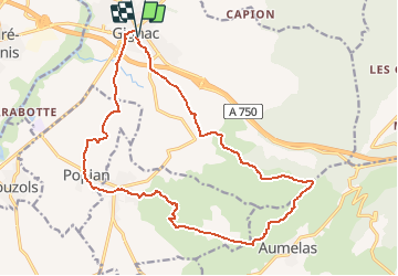

9.5 km | 12 km-effort


User


FREE GPS app for hiking
 SityTrail
IGN / Geographical institutes
SityTrail World
The world is yours!
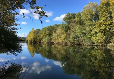
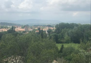
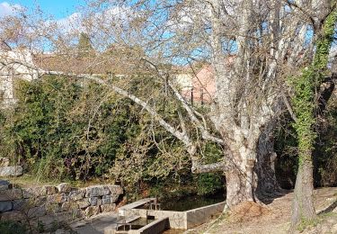
Trail Walking of 20 km to be discovered at Occitania, Hérault, Gignac. This trail is proposed by RandoVal.
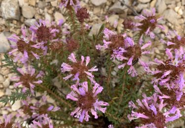
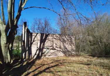
Boucle entre vignes et garrigues, stationnement et départ place du jeu de ballon à Gignac, pas le samedi : Marché. Sens horaire. A voir la tour du télégraphe de Chappe.

Walking
Walking
Walking

Walking

Walking

Walking
Walking