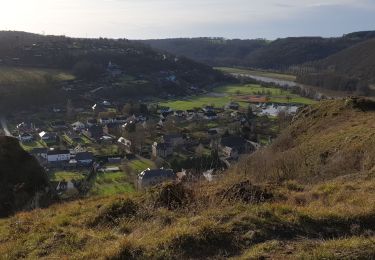
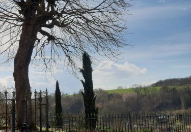
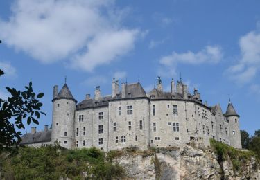
Trail Cycle Dinant - La Wallonie à Vélo / RaVel Ligne 5 de Dinant à l’Ile de Godinne - Photo

La Wallonie à Vélo / RaVel Ligne 5 de Dinant à l’Ile de Godinne

© OpenStreetMap contributors
Length
Length
12.8 km
Max alt
Max alt
120 m
Uphill gradient
Uphill gradient
155 m
Km-Effort
Km-Effort  
14.9 km
Min alt
Min alt
72 m
Downhill gradient
Downhill gradient
161 m
Boucle
Boucle
No
Creation date :
2021-05-03 14:10:57.028
Updated on :
2021-05-03 14:14:32.526

(0 Reviews)

Cycle
Cycle
--
Difficulty : Very easy

Scan this QR Code to open this trail in the SityTrail application

FREE GPS app for hiking

Logo SityTrail SityTrail

IGN / Geographical institutes

Download SityTrail from the App Store Download SityTrail from Google Play

Logo SityTrail SityTrail World

The world is yours!

Download SityTrail from the App Store Download SityTrail from Google Play Download SityTrail on Huawei AppGallery

About

Trail Cycle of 12.8 km to be discovered at Wallonia, Namur, Dinant. This trail is proposed by ValleedelaMeuse.

Description

Circuit vélo Dinant - Ile de Godinne
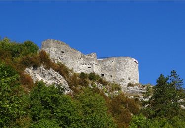
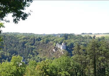
En sortant de la ville des « Copères » (alias les Dinantais) par le RAVeL en rive gauche de Meuse, à flanc de vallée se dressent plusieurs hectares de vignes. Peu avant Anhée, les ruines du Château féodal de Poilvache dominent la Meuse du haut de son éperon rocheux. Vous êtes dans la plus belle section paysagère de la vallée mosane, dévoilant de nombreuses falaises et des cadres somptueux comme les célèbres jardins d’Annevoie.

Distance Dinant - Ile de Godinne : 13 km

Départ : au pied de la Maison du Tourisme de Dinant (Avenue Colonel Cadoux, 3 à 5500 Dinant)

Arrivée : zone dégagée en face de l'Ile de Godinne (Chaussée de Dinant 129, 5170 Profondeville)

Le circuit évolue principalement sur le halage, le long de la Meuse.

Si vous souhaitez plus d'informations https://www.access-i.be/circuits/circuit-velo-namur-dinant-si-deux-troncons

Elevation profile

Photos

Positioning

Country:
Belgium
Region :
Wallonia
Department/Province :
Namur
Municipality :
Dinant
Location:
Dinant
Start:(UTM)
636130 ; 5569377 (31U) N.

Trails nearby

Trail Walking Dinant - RB-Na-24-Entre Lesse et Meuse - Photo
Walking
PRO

Walking

Very difficult
(15)
Dinant, Wallonia, Namur, Belgium
19.3 km | 26 km-effort
5h 57min
Yes
Trail Walking Yvoir - RB-Na-03 Forteresses, citadelle et abbaye mosanes - Photo
Walking
PRO

Walking

Difficult
(11)
Yvoir, Wallonia, Namur, Belgium
22 km | 30 km-effort
7h 1min
Yes
Trail Walking Dinant - Balade à Dinant - La Réserve Naturelle de Moniat - Photo
Walking
GUIDE
Desrumaux

Walking

Very easy
(1)
Dinant, Wallonia, Namur, Belgium
8.4 km | 10.9 km-effort
3h 54min
Yes
Trail Walking Dinant - D'Anseremme à Dinant - Photo
Walking
GUIDE
Desrumaux

Walking

Easy
(3)
Dinant, Wallonia, Namur, Belgium
8.3 km | 11.8 km-effort
2h 34min
Yes
Trail Walking Dinant - Balade à Bouvignes - Photo
Walking
GUIDE
Desrumaux

Walking

Easy
(3)
Dinant, Wallonia, Namur, Belgium
4.8 km | 7.2 km-effort
1h 34min
Yes
Trail Walking Dinant - Balade en Réserve Naturelle de Devant Bouvignes - Photo
Walking
GUIDE
Desrumaux

Walking

Very easy
(3)
Dinant, Wallonia, Namur, Belgium
4.9 km | 6.9 km-effort
1h 32min
Yes
Trail Walking Anhée - rando ornitho haut le wastia 01/04/2021 - Photo
Walking
GUIDE
japy54

Walking

Easy
(2)
Anhée, Wallonia, Namur, Belgium
12.9 km | 16.4 km-effort
4h 44min
Yes
Trail Walking Dinant - Dinant: autour de la Citadelle.  - Photo
Walking
godi

Walking

Easy
(4)
Dinant, Wallonia, Namur, Belgium
5.7 km | 7.5 km-effort
1h 40min
Yes
Trail Walking Dinant - RB-Na-24-racc-Entre Lesse et Meuse - Photo
Walking
PRO

Walking

Very difficult
(4)
Dinant, Wallonia, Namur, Belgium
18.5 km | 24 km-effort
5h 29min
Yes


Close
My subscriptions