22 km | 27 km-effort
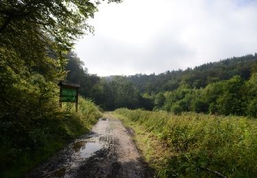
Buzenol Archeologisch woudpark - 5 km RT
wandelroutes
User
Length
5.2 km
Max alt
372 m
Uphill gradient
94 m
Km-Effort
6.5 km
Min alt
285 m
Downhill gradient
97 m
Boucle
Yes
Creation date :
2014-12-10 00:00:00.0
Updated on :
2014-12-10 00:00:00.0
--
Difficulty : Unknown
FREE GPS app for hiking
About
Trail Walking of 5.2 km to be discovered at Wallonia, Luxembourg, Étalle. This trail is proposed by wandelroutes.
Description
More information on : http://www.wandelroutes.org
Positioning
Country:
Belgium
Region :
Wallonia
Department/Province :
Luxembourg
Municipality :
Étalle
Location:
Buzenol
Start:(Dec)
Start:(UTM)
687372 ; 5502574 (31U) N.
Comments
Trails nearby
Buzenol - Circuit Natura 2000, des sites qui valent le détour - Lx17
Walking
Medium
(1)
Virton,
Wallonia,
Luxembourg,
Belgium
13.5 km | 16.7 km-effort
2h 0min
Yes
GAUME Boucle vers la vallee de la Rougeau
Walking
Easy
(3)
Étalle,
Wallonia,
Luxembourg,
Belgium
5.6 km | 7.1 km-effort
1h 32min
Yes
Chantemelle la tranchée des portes
Walking
Easy
Étalle,
Wallonia,
Luxembourg,
Belgium
10.8 km | 12.6 km-effort
2h 30min
Yes
Tranchée des Portes - Marche_8kms
Walking
Difficult
Saint-Léger,
Wallonia,
Luxembourg,
Belgium
7.8 km | 10.2 km-effort
1h 44min
No
La Stabuloise
On foot
Easy
Étalle,
Wallonia,
Luxembourg,
Belgium
13.5 km | 15.5 km-effort
3h 30min
Yes
La Fratinotte
On foot
Easy
Étalle,
Wallonia,
Luxembourg,
Belgium
5.4 km | 6.1 km-effort
1h 23min
Yes
Promenade à Sint-Ldjir
On foot
Easy
Saint-Léger,
Wallonia,
Luxembourg,
Belgium
5.9 km | 7.3 km-effort
1h 39min
Yes
Buzenol Montauban(bas) Buzenol
Walking
Medium
(1)
Étalle,
Wallonia,
Luxembourg,
Belgium
10.8 km | 13.4 km-effort
1h 43min
Yes