7.1 km | 7.4 km-effort
Brouckmolenwandelroute
wandelroutes
User
Length
9.8 km
Max alt
12 m
Uphill gradient
37 m
Km-Effort
10.3 km
Min alt
-1 m
Downhill gradient
37 m
Boucle
Yes
Creation date :
2014-12-10 00:00:00.0
Updated on :
2014-12-10 00:00:00.0
--
Difficulty : Unknown
FREE GPS app for hiking
About
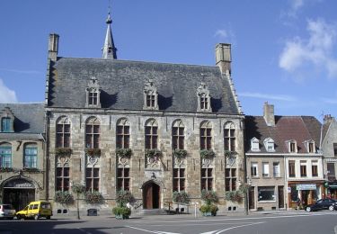
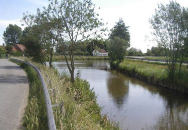
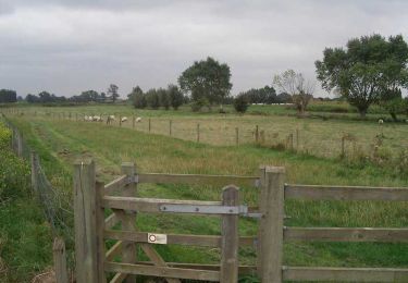
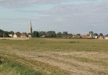
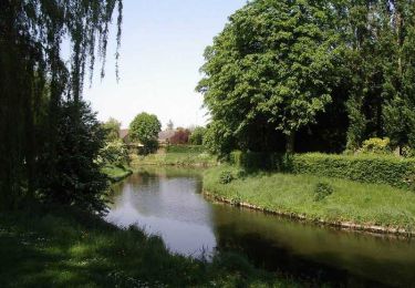
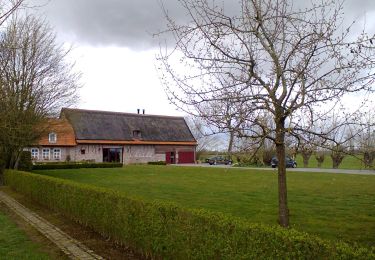
Trail Walking of 9.8 km to be discovered at Flanders, West Flanders, Alveringem. This trail is proposed by wandelroutes.
Description
More information on : http://www.wandelroutes.org
Points of interest
Positioning
Country:
Belgium
Region :
Flanders
Department/Province :
West Flanders
Municipality :
Alveringem
Location:
Beveren-aan-den Ijzer
Start:(Dec)
Start:(UTM)
474808 ; 5642944 (31U) N.
Comments
Trails nearby
La route du lin 2014 - Hondschoote
Cycle
Medium
Hondschoote,
Hauts-de-France,
Nord,
France
28 km | 30 km-effort
2h 0min
Yes
La route du lin 2013 - Hondschoote
Cycle
Easy
Hondschoote,
Hauts-de-France,
Nord,
France
35 km | 37 km-effort
2h 0min
Yes
La route du lin 2013 - Hondschoote
Mountain bike
Easy
Hondschoote,
Hauts-de-France,
Nord,
France
35 km | 37 km-effort
3h 0min
Yes
La route du lin 2011 - Hondschoote
Cycle
Easy
(1)
Hondschoote,
Hauts-de-France,
Nord,
France
33 km | 34 km-effort
2h 0min
Yes
La route du lin 2011 - Hondschoote
Mountain bike
Easy
Hondschoote,
Hauts-de-France,
Nord,
France
33 km | 34 km-effort
3h 0min
Yes
Dode Yjzer via Oost-Cappel
Walking
Medium
Oost-Cappel,
Hauts-de-France,
Nord,
France
11.5 km | 12.1 km-effort
2h 49min
Yes
Circuit des chapelles (Hondschoote)
Walking
Difficult
Hondschoote,
Hauts-de-France,
Nord,
France
19 km | 20 km-effort
4h 45min
Yes
Circuit des Anguilles - Hondschoote
Walking
Medium
(2)
Hondschoote,
Hauts-de-France,
Nord,
France
9.4 km | 9.8 km-effort
2h 15min
Yes