7.6 km | 10.9 km-effort
210502lauzon
michelfehrenbach
User
Length
11.3 km
Boucle
No
Creation date :
2021-05-02 11:59:49.292
Updated on :
2021-05-02 17:16:54.976
3h28
Difficulty : Difficult
FREE GPS app for hiking
About
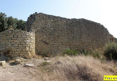
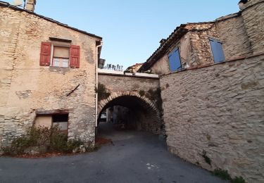
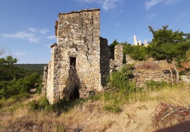
Trail Walking of 11.3 km to be discovered at Provence-Alpes-Côte d'Azur, Alpes-de-Haute-Provence, Montlaux. This trail is proposed by michelfehrenbach.
Positioning
Country:
France
Region :
Provence-Alpes-Côte d'Azur
Department/Province :
Alpes-de-Haute-Provence
Municipality :
Montlaux
Location:
Unknown
Start:(Dec)
Start:(UTM)
729022 ; 4879573 (31T) N.
Comments
Trails nearby
Plateau de Ganagobie
Walking
Medium
(2)
Ganagobie,
Provence-Alpes-Côte d'Azur,
Alpes-de-Haute-Provence,
France
3h 0min
Yes
St Etienne les Orgues - La Blache
Walking
Medium
(1)
Saint-Étienne-les-Orgues,
Provence-Alpes-Côte d'Azur,
Alpes-de-Haute-Provence,
France
14.8 km | 19.3 km-effort
4h 16min
Yes
montlaux.lablache
Walking
Medium
Montlaux,
Provence-Alpes-Côte d'Azur,
Alpes-de-Haute-Provence,
France
8.4 km | 11.8 km-effort
3h 6min
Yes
2024-02-27 Ganagobie
Walking
Easy
Ganagobie,
Provence-Alpes-Côte d'Azur,
Alpes-de-Haute-Provence,
France
10.2 km | 15.1 km-effort
3h 25min
Yes
cruis tour des jas 900m 21kms
Walking
Easy
Cruis,
Provence-Alpes-Côte d'Azur,
Alpes-de-Haute-Provence,
France
20 km | 31 km-effort
8h 3min
Yes
cruis la ronde des jas .
Walking
Medium
Cruis,
Provence-Alpes-Côte d'Azur,
Alpes-de-Haute-Provence,
France
11.4 km | 18.1 km-effort
3h 39min
Yes
CRUIS . L ESPINASSE . DEFEND DES BOEUF . JAS ROCHE . O S L
Walking
Medium
Cruis,
Provence-Alpes-Côte d'Azur,
Alpes-de-Haute-Provence,
France
13 km | 19.9 km-effort
3h 29min
Yes
Le revest 04.la blache 04
Walking
Very easy
Revest-Saint-Martin,
Provence-Alpes-Côte d'Azur,
Alpes-de-Haute-Provence,
France
4.5 km | 5.5 km-effort
2h 8min
Yes
col Bas depuis mallefougasse
Walking
Medium
Mallefougasse-Augès,
Provence-Alpes-Côte d'Azur,
Alpes-de-Haute-Provence,
France
9.2 km | 12.4 km-effort
3h 1min
Yes