


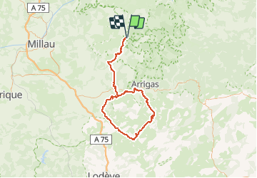


21 km | 29 km-effort


User


FREE GPS app for hiking
 SityTrail
IGN / Geographical institutes
SityTrail World
The world is yours!
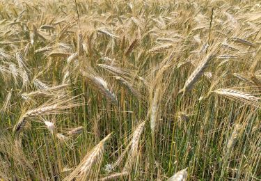
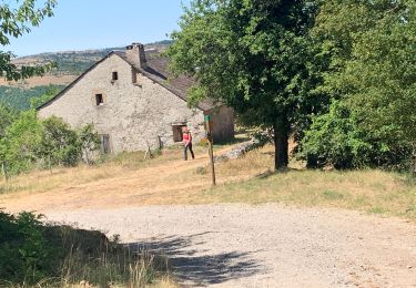
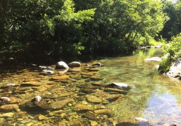
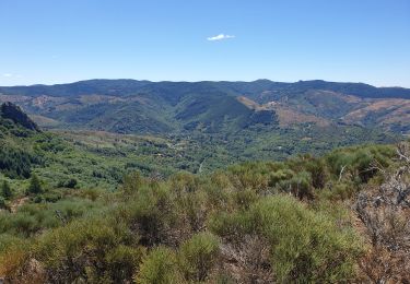
Trail Horseback riding of 124 km to be discovered at Occitania, Gard, Lanuéjols. This trail is proposed by Lozère Cheval.
donné par cavalquinta avril 21
Aiguebonne vers Cavalquinta passant par Fabarede
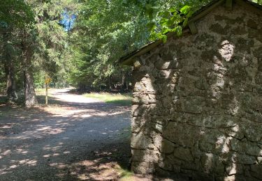
Walking
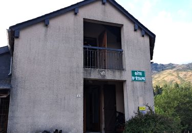

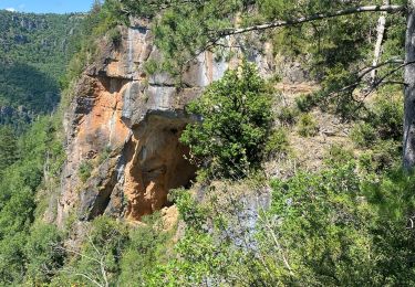
Walking
Walking
On foot
Walking
On foot