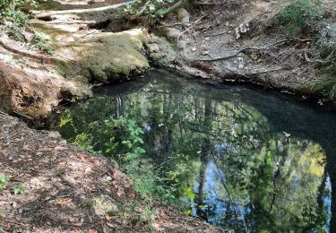
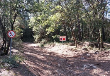
13.1 km | 15.6 km-effort
berne pied Marion 04.2021
remibab
User
Length
16.3 km
Max alt
373 m
Uphill gradient
317 m
Km-Effort
21 km
Min alt
213 m
Downhill gradient
315 m
Boucle
Yes
Creation date :
2021-04-25 08:01:21.28
Updated on :
2021-04-29 14:17:55.983
102h15
Difficulty : Very difficult
FREE GPS app for hiking
About
Trail Walking of 16.3 km to be discovered at Provence-Alpes-Côte d'Azur, Var, Flayosc. This trail is proposed by remibab.
Positioning
Country:
France
Region :
Provence-Alpes-Côte d'Azur
Department/Province :
Var
Municipality :
Flayosc
Location:
Unknown
Start:(Dec)
Start:(UTM)
285311 ; 4824736 (32T) N.
Comments
Trails nearby
Tourtour - Les Moulières
Walking
Medium
(1)
Tourtour,
Provence-Alpes-Côte d'Azur,
Var,
France
5h 0min
Yes
fox
Other activity
Medium
(1)
Villecroze,
Provence-Alpes-Côte d'Azur,
Var,
France
42 km | 52 km-effort
2h 24min
Yes
st bart
Mountain bike
Difficult
(1)
Villecroze,
Provence-Alpes-Côte d'Azur,
Var,
France
33 km | 42 km-effort
2h 20min
Yes
giant vs haibike
Mountain bike
Medium
(1)
Villecroze,
Provence-Alpes-Côte d'Azur,
Var,
France
29 km | 36 km-effort
1h 49min
Yes
Flayosc
Walking
Easy
(4)
Flayosc,
Provence-Alpes-Côte d'Azur,
Var,
France
8.3 km | 10.6 km-effort
2h 18min
Yes
Villecroze- Domaine Saint Jean
Walking
Easy
Villecroze,
Provence-Alpes-Côte d'Azur,
Var,
France
4.3 km | 5.4 km-effort
1h 16min
No
2024-02-05_17h29m21_st antonin demain
sport
Very easy
(1)
Saint-Antonin-du-Var,
Provence-Alpes-Côte d'Azur,
Var,
France
27 km | 35 km-effort
Unknown
Yes
20210922 Berne3 les Oussiayes
Walking
Medium
Flayosc,
Provence-Alpes-Côte d'Azur,
Var,
France
11.5 km | 14.8 km-effort
4h 39min
Yes
SAINT-ANTONIN DU VAR - ENTRE MENTONE ET SALERNES
Walking
Easy
Saint-Antonin-du-Var,
Provence-Alpes-Côte d'Azur,
Var,
France
15.2 km | 19.7 km-effort
5h 13min
Yes