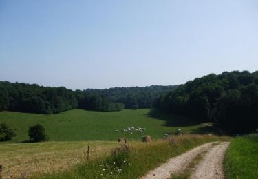
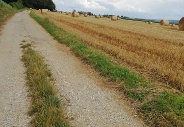
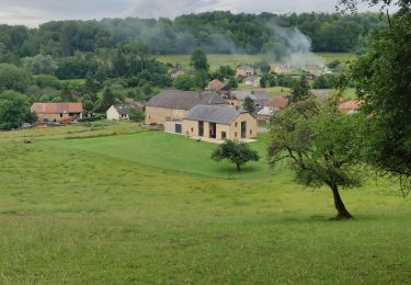
10.5 km | 12.9 km-effort
Fagnon 12,7
labotte
User
Length
12.7 km
Max alt
304 m
Uphill gradient
271 m
Km-Effort
16.3 km
Min alt
170 m
Downhill gradient
271 m
Boucle
Yes
Creation date :
2021-04-27 11:30:32.726
Updated on :
2021-04-27 15:57:48.79
2h53
Difficulty : Easy
FREE GPS app for hiking
About
Trail Walking of 12.7 km to be discovered at Grand Est, Ardennes, Fagnon. This trail is proposed by labotte.
Positioning
Country:
France
Region :
Grand Est
Department/Province :
Ardennes
Municipality :
Fagnon
Location:
Unknown
Start:(Dec)
Start:(UTM)
617912 ; 5510511 (31U) N.
Comments
Trails nearby
De St Pierre sur Vence à Champigneul sur Vence
Walking
Difficult
Saint-Pierre-sur-Vence,
Grand Est,
Ardennes,
France
3h 0min
Yes
Boucle VTT de Neuville lès This à la Fosse à l''Eau
Mountain bike
Difficult
Neuville-lès-This,
Grand Est,
Ardennes,
France
21 km | 27 km-effort
2h 19min
Yes
De St Marcel à Gruyères par This
Mountain bike
Medium
Saint-Marcel,
Grand Est,
Ardennes,
France
30 km | 38 km-effort
2h 30min
Yes
randonnee-34661010
Mountain bike
Medium
Gruyères,
Grand Est,
Ardennes,
France
22 km | 27 km-effort
1h 53min
Yes
boulzicourt
Walking
Difficult
Boulzicourt,
Grand Est,
Ardennes,
France
12.8 km | 17.2 km-effort
3h 27min
Yes
Gruyère Réalisé le 02 08 2021
Walking
Difficult
Gruyères,
Grand Est,
Ardennes,
France
12 km | 15.2 km-effort
2h 34min
Yes
Gruyère 29-06-21
Walking
Easy
Gruyères,
Grand Est,
Ardennes,
France
12 km | 15.2 km-effort
2h 36min
Yes
boulzicourt
Walking
Medium
Boulzicourt,
Grand Est,
Ardennes,
France
11.9 km | 15.8 km-effort
3h 6min
Yes