


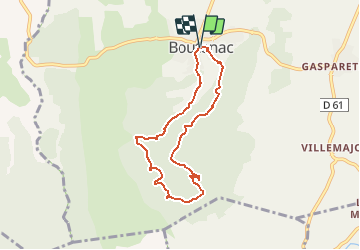


19.9 km | 27 km-effort


User


FREE GPS app for hiking
 SityTrail
IGN / Geographical institutes
SityTrail World
The world is yours!
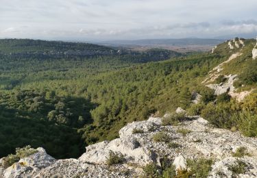
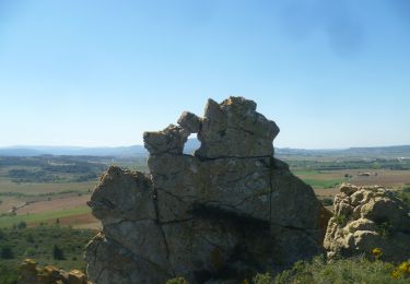
Trail Walking of 7 km to be discovered at Occitania, Aude, Boutenac. This trail is proposed by Licianus2.
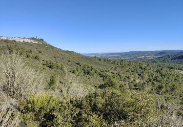
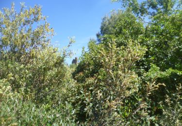
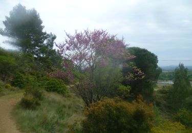
Départ de l'église de Boutenac qui bénéficie de quelques emplacement de parking. Petite boucle agréable, avec de belles panoramiques et surtout la Chapelle de St Siméon dans son écrin de verdure. Ne ratez pas la grotte de l'ermite sous la chapelle. Pas mal de cailloux sur les pistes. Le circuit effectué dans le sens horaire est plus facile, sauf le sentier qui descend vers la chapelle qui est une véritable ravine, heureusement pas très long.


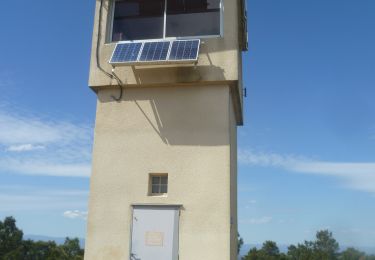
32 photos in total. Please click on a photo to see them all in the gallery.
Walking

Walking
Walking

Walking
Walking
Walking
Walking
Walking
Walking