


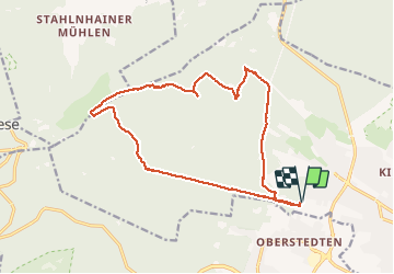

5.1 km | 6.6 km-effort


User


FREE GPS app for hiking
 SityTrail
IGN / Geographical institutes
SityTrail World
The world is yours!
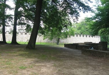
Trail Walking of 16.2 km to be discovered at Hesse, Hochtaunuskreis, Bad Homburg vor der Höhe. This trail is proposed by shuck.
Hochtaunus près de Francfort-am-Main.
Départ Gotischenhaus - Bad-Hombourg
On foot

On foot
On foot

On foot
On foot
On foot
On foot