


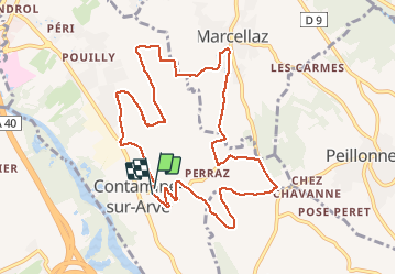

10.6 km | 19.3 km-effort


User


FREE GPS app for hiking
 SityTrail
IGN / Geographical institutes
SityTrail World
The world is yours!
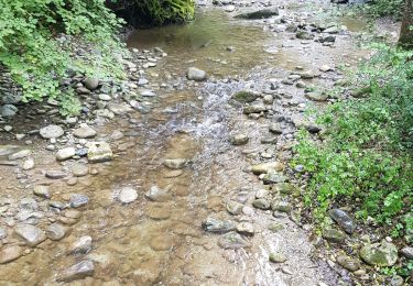
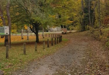
Trail Running of 10.7 km to be discovered at Auvergne-Rhône-Alpes, Upper Savoy, Contamine-sur-Arve. This trail is proposed by petole.
Parcourt de la course de la Saint-Bruno Contamine sur arve
Walking
Walking

Mountain bike

Running
Walking
Walking

Walking
Nordic walking
Walking