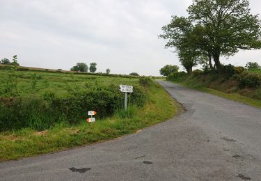
12.1 km | 16.4 km-effort
2021-04-24_23h52m29
Gus23
User
Length
18.4 km
Max alt
372 m
Uphill gradient
203 m
Km-Effort
21 km
Min alt
268 m
Downhill gradient
248 m
Boucle
No
Creation date :
2021-04-24 21:52:29.621
Updated on :
2021-06-12 14:19:01.566
--
Difficulty : Very easy
FREE GPS app for hiking
About
Trail Coupling of 18.4 km to be discovered at New Aquitaine, Creuse, Dun-le-Palestel. This trail is proposed by Gus23.
Description
Ancienne voie de chemin de fer
Positioning
Country:
France
Region :
New Aquitaine
Department/Province :
Creuse
Municipality :
Dun-le-Palestel
Location:
Unknown
Start:(Dec)
Start:(UTM)
397531 ; 5129171 (31T) N.
Comments
Trails nearby
saint sulpice le dunois
Walking
Very easy
Saint-Sulpice-le-Dunois,
New Aquitaine,
Creuse,
France
2h 22min
Yes
chabanne
Nordic walking
Very easy
(1)
Dun-le-Palestel,
New Aquitaine,
Creuse,
France
13.4 km | 18.1 km-effort
2h 32min
Yes
2021-05-18_21h12m49_13070504-track-1621365109-241
Horseback riding
Medium
Lafat,
New Aquitaine,
Creuse,
France
25 km | 30 km-effort
3h 57min
Yes
Les Combes de la Cazine
Other activity
Medium
Colondannes,
New Aquitaine,
Creuse,
France
8.8 km | 11.6 km-effort
1h 45min
Yes
colondannes
Other activity
Very easy
Colondannes,
New Aquitaine,
Creuse,
France
8.7 km | 10.6 km-effort
2h 14min
Yes
Chabanne 4
Nordic walking
Difficult
Dun-le-Palestel,
New Aquitaine,
Creuse,
France
10.5 km | 14.4 km-effort
2h 30min
Yes
Chabanne 3
Nordic walking
Medium
Dun-le-Palestel,
New Aquitaine,
Creuse,
France
8.1 km | 11.2 km-effort
2h 0min
Yes
Chabanne 1
Nordic walking
Difficult
Dun-le-Palestel,
New Aquitaine,
Creuse,
France
8.2 km | 11.2 km-effort
2h 0min
Yes
10568546-VTT 38
Mountain bike
Easy
Lafat,
New Aquitaine,
Creuse,
France
10.6 km | 13 km-effort
51min
Yes