Trail On foot Viroinval - Dans les forêts de Oignies - Photo

Dans les forêts de Oignies

 BOUMA
BOUMA

User

© OpenStreetMap contributors
Length
Length
19.5 km
Max alt
Max alt
393 m
Uphill gradient
Uphill gradient
474 m
Km-Effort
Km-Effort  
26 km
Min alt
Min alt
182 m
Downhill gradient
Downhill gradient
474 m
Boucle
Boucle
Yes
Creation date :
2021-04-24 15:37:01.607
Updated on :
2021-04-25 15:36:21.985

(1 Reviews)

On foot
On foot
5h51
Difficulty : Medium

Scan this QR Code to open this trail in the SityTrail application

FREE GPS app for hiking

Logo SityTrail SityTrail

IGN / Geographical institutes

Download SityTrail from the App Store Download SityTrail from Google Play

Logo SityTrail SityTrail World

The world is yours!

Download SityTrail from the App Store Download SityTrail from Google Play Download SityTrail on Huawei AppGallery

About

Trail On foot of 19.5 km to be discovered at Wallonia, Namur, Viroinval. This trail is proposed by BOUMA.

Description

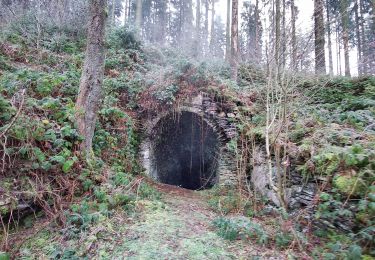
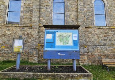
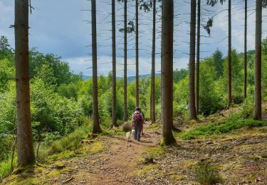
Départ de l'église de Oignies et boucle de 19,5 km
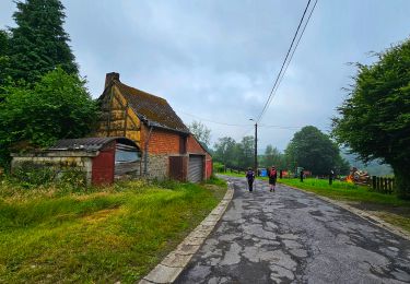
Parcours boisés qui traverse son assez proche village, Le Mesnil.
Parcours des contrebandiers et des ardoisiers.
Ce parcours suit pour sa majorité, les balises locales : losange bleu, rectangle rouge, rectangle vert, croix verte, piste de liaison croix verte et bleue, rectangle vert/blanc
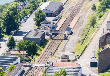
A travers les arbres, vue panoramique sur Haybes et Fumay (vallée de la Meuse) et ce, e longeant la frontière française.
Parcours romantique le long du ruisseau d'Alyse.

Elevation profile

Positioning

Country:
Belgium
Region :
Wallonia
Department/Province :
Namur
Municipality :
Viroinval
Location:
Oignies-en-Thiérache
Start:(UTM)
617407 ; 5542559 (31U) N.

Comments

Please log in to post a review or rate the element


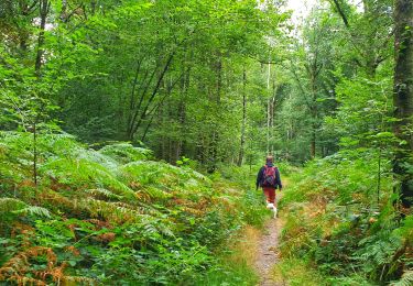
Belle rando boisée pour la majorité du parcours. Attention aux dénivelés. Nous longeons pour une bonne partie la frontière française.


Trails nearby

Trail Walking Viroinval - Le Trou du Diable à Oignies en Thiérache - Photo
Walking
GUIDE
Desrumaux

Walking

Very easy
(4)
Viroinval, Wallonia, Namur, Belgium
6.4 km | 9.1 km-effort
2h 32min
Yes
Trail Walking Viroinval - RF-Na-12 Oignies - Grande-boucle - Photo
Walking
PRO

Walking

Medium
(1)
Viroinval, Wallonia, Namur, Belgium
11 km | 14.2 km-effort
3h 2min
Yes
Trail Walking Viroinval - Balade à Le Mesnil - Viroinval - Photo
Walking
GUIDE
Desrumaux

Walking

Easy
Viroinval, Wallonia, Namur, Belgium
3.6 km | 4.8 km-effort
2h 16min
Yes
Trail Walking Viroinval - 2024-03-19_14h55m08_OTH-A0-008T-2Z7M - Photo
Walking
GUIDE
Desrumaux

Walking

Medium
Viroinval, Wallonia, Namur, Belgium
8.4 km | 11 km-effort
2h 29min
Yes
Trail Walking Viroinval - Balade à Regniessart - Viroinval - Photo
Walking
GUIDE
Desrumaux

Walking

Medium
Viroinval, Wallonia, Namur, Belgium
8.4 km | 10.6 km-effort
2h 24min
Yes
Trail Walking Viroinval - Balade à Oignies-en-Thiérache - Le Ry d'Alise - Photo
Walking
GUIDE
Desrumaux

Walking

Medium
Viroinval, Wallonia, Namur, Belgium
8.6 km | 11.8 km-effort
2h 40min
Yes
Trail On foot Fumay - Les Ardoisières de Fumay - Photo
On foot
GUIDE+

On foot

Easy
Fumay, Grand Est, Ardennes, France
7.8 km | 10.7 km-effort
2h 25min
No
Trail On foot Viroinval - Les Charmes - Photo
On foot
GUIDE+

On foot

Easy
Viroinval, Wallonia, Namur, Belgium
6.1 km | 8.5 km-effort
1h 56min
Yes
Trail On foot Viroinval - Les Crêtes - Robertsart - Photo
On foot
GUIDE+

On foot

Easy
Viroinval, Wallonia, Namur, Belgium
9.9 km | 13.6 km-effort
3h 5min
Yes


Close
My subscriptions