


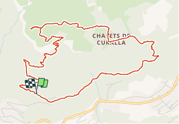

9 km | 14.3 km-effort

User


FREE GPS app for hiking
 SityTrail
IGN / Geographical institutes
SityTrail World
The world is yours!
Trail Walking of 7.5 km to be discovered at Auvergne-Rhône-Alpes, Upper Savoy, Passy. This trail is proposed by fafa74.


Walking

Walking

Walking
Walking

Walking

Walking

Running

Walking
Walking
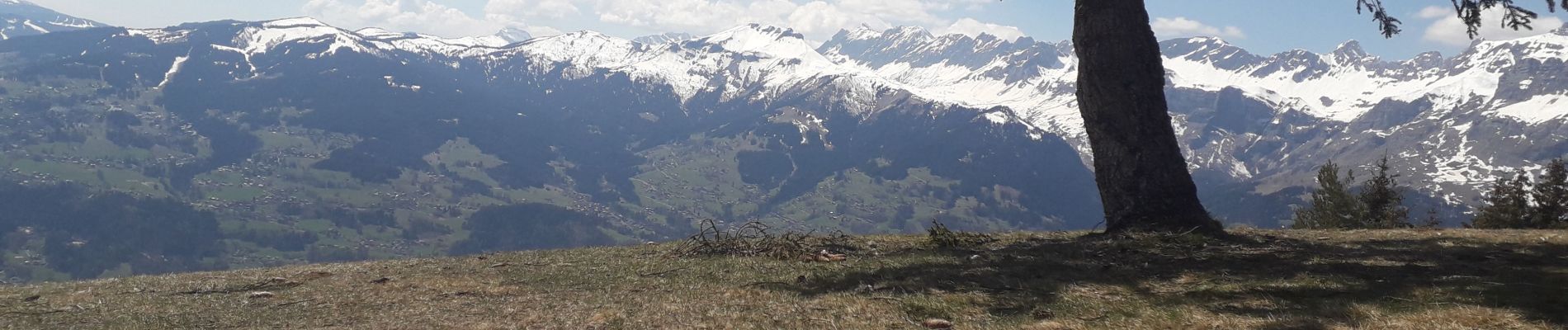
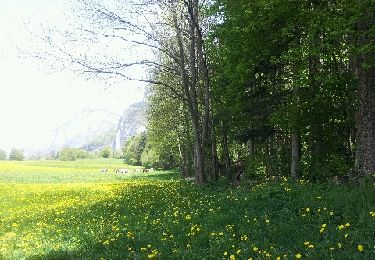
La montée est très agréable avec le massif du Mont Blanc à droite. La descente est presque exclusivement en sous bois ce qui est agréable s'il fait chaud.