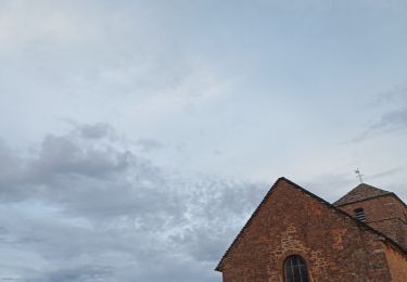
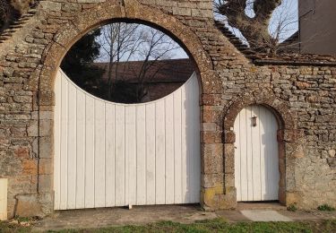
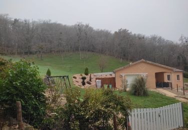
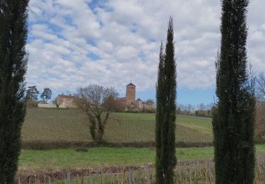
Trail On foot Viré - viré 11k5  - Photo
 Bcomb
Bcomb

User

© OpenStreetMap contributors
Length
Length
11.4 km
Max alt
Max alt
392 m
Uphill gradient
Uphill gradient
320 m
Km-Effort
Km-Effort  
15.7 km
Min alt
Min alt
205 m
Downhill gradient
Downhill gradient
322 m
Boucle
Boucle
Yes
Creation date :
2021-04-20 15:38:36.918
Updated on :
2021-04-20 15:38:36.918

(0 Reviews)

On foot
On foot
--
Difficulty : Unknown

Scan this QR Code to open this trail in the SityTrail application

FREE GPS app for hiking

Logo SityTrail SityTrail

IGN / Geographical institutes

Download SityTrail from the App Store Download SityTrail from Google Play

Logo SityTrail SityTrail World

The world is yours!

Download SityTrail from the App Store Download SityTrail from Google Play Download SityTrail on Huawei AppGallery

About

Trail On foot of 11.4 km to be discovered at Bourgogne-Franche-Comté, Saône-et-Loire, Viré. This trail is proposed by Bcomb.

Elevation profile

Positioning

Country:
France
Region :
Bourgogne-Franche-Comté
Department/Province :
Saône-et-Loire
Municipality :
Viré
Location:
Vérizet
Start:(UTM)
641901 ; 5145585 (31T) N.

Trails nearby

Trail Walking Saint-Maurice-de-Satonnay - laizé st maurice - Photo
Walking
philippe nicolai

Walking

Medium
(1)
Saint-Maurice-de-Satonnay, Bourgogne-Franche-Comté, Saône-et-Loire, France
6.9 km | 7.8 km-effort
1h 53min
Yes
Trail Walking Burgy - rando burgy - Photo
Walking
Lillie Zennily

Walking

Difficult
Burgy, Bourgogne-Franche-Comté, Saône-et-Loire, France
11.4 km | 16.2 km-effort
2h 37min
Yes
Trail Walking Clessé - classe rst - Photo
Walking
hubert REVILLOT 2

Walking

Medium
Clessé, Bourgogne-Franche-Comté, Saône-et-Loire, France
6.9 km | 10.7 km-effort
2h 3min
No
Trail Walking Viré - vire RST - Photo
Walking
hubert REVILLOT 2

Walking

Easy
Viré, Bourgogne-Franche-Comté, Saône-et-Loire, France
9.8 km | 13 km-effort
2h 56min
No
Trail Walking Burgy - rando clesse - Photo
Walking
liviniki

Walking

Difficult
Burgy, Bourgogne-Franche-Comté, Saône-et-Loire, France
11.2 km | 15.9 km-effort
2h 35min
Yes
Trail Walking Péronne - clesse - Photo
Walking
hubert REVILLOT 2

Walking

Easy
Péronne, Bourgogne-Franche-Comté, Saône-et-Loire, France
11.2 km | 16.4 km-effort
3h 16min
Yes
Trail On foot Montbellet - Pont de Fleurville / La truchère en longeant la Saône. - Photo
On foot
robertdurand

On foot

Very easy
Montbellet, Bourgogne-Franche-Comté, Saône-et-Loire, France
11.4 km | 12.4 km-effort
Unknown
No
Trail Mountain bike Lugny - Lugny m'ont st romain - Photo
Mountain bike
ajpbm

Mountain bike

Very easy
Lugny, Bourgogne-Franche-Comté, Saône-et-Loire, France
39 km | 52 km-effort
3h 37min
Yes
Trail Mountain bike Lugny - Le Grand Bois-Fleurville - Photo
Mountain bike
Midego

Mountain bike

Medium
Lugny, Bourgogne-Franche-Comté, Saône-et-Loire, France
70 km | 84 km-effort
5h 23min
No


Close
My subscriptions