


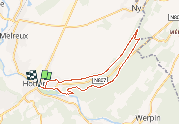


18.4 km | 24 km-effort

Randonnées de la Maison du Tourisme Famenne - Ardenne Ourthe & Lesse PRO


FREE GPS app for hiking
 SityTrail
IGN / Geographical institutes
SityTrail World
The world is yours!
Trail Walking of 7.1 km to be discovered at Wallonia, Luxembourg, Hotton. This trail is proposed by Maison du Tourisme Famenne - Ardenne Ourthe & Lesse.
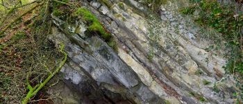
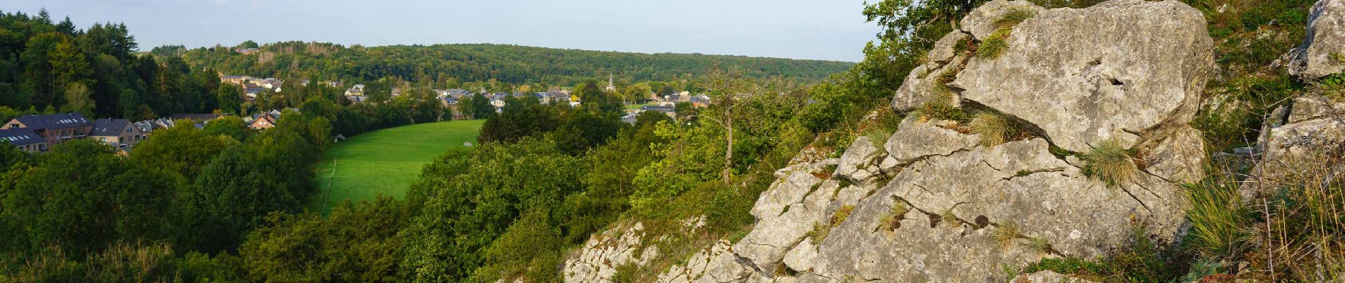
Belle promenade bucolique à la découverte des richesses naturelles de Hotton. Difficulté moyenne, boueux en cas de pluie.


Walking

Walking

Walking

Walking

Walking

Walking


Walking
