


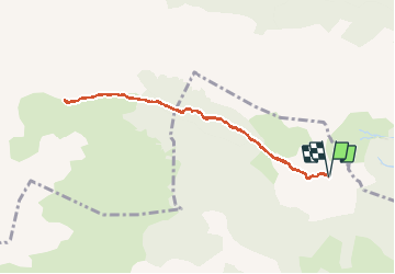

5.4 km | 7.4 km-effort


User


FREE GPS app for hiking
 SityTrail
IGN / Geographical institutes
SityTrail World
The world is yours!
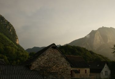
Trail Walking of 8.5 km to be discovered at New Aquitaine, Pyrénées-Atlantiques, Lescun. This trail is proposed by bedous.
Belle rando , pas difficile, une grande partie ombragée. De trés belles vues sur le pic du midi d'Ossau, le Billard, Le pic d'Anie, les orgues de Complong , etc.....


Walking

Walking

On foot

On foot

On foot

On foot

On foot
On foot

On foot