


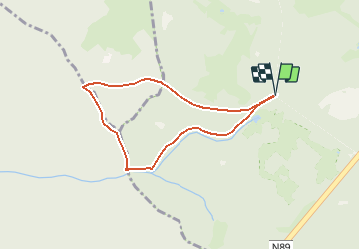


9.8 km | 13.1 km-effort

Randonnées de la Maison du Tourisme Famenne - Ardenne Ourthe & Lesse PRO


FREE GPS app for hiking
 SityTrail
IGN / Geographical institutes
SityTrail World
The world is yours!
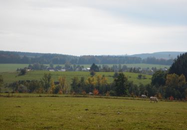
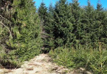
Trail Walking of 6 km to be discovered at Wallonia, Luxembourg, Tenneville. This trail is proposed by Maison du Tourisme Famenne - Ardenne Ourthe & Lesse.
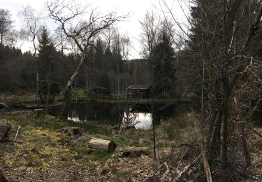
Circuit non balisé en boucle dans le forêt de Saint-Michel.


Walking
Walking
Walking

Walking
On foot

Walking
Walking
On foot
Walking