


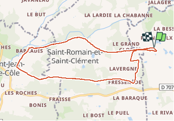

12 km | 14.4 km-effort


User


FREE GPS app for hiking
 SityTrail
IGN / Geographical institutes
SityTrail World
The world is yours!
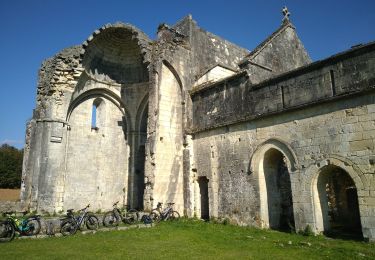
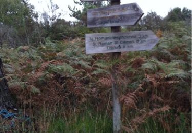
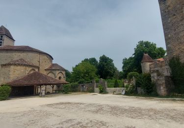
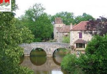
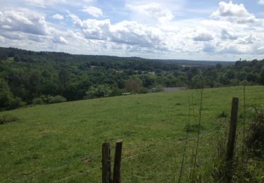
Trail Walking of 9.8 km to be discovered at New Aquitaine, Dordogne, Thiviers. This trail is proposed by Patricew.
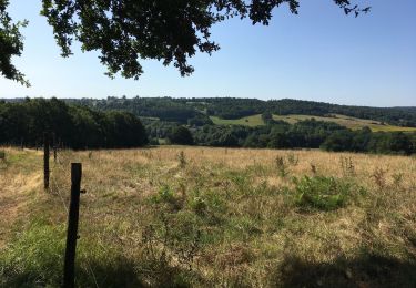
belle randonnée de 10 km assez facile
Départ voie verte, allez jusqu'à Saint Jean de Cole par voie verte, suivre le parcours
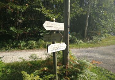
Pas de problème particulier
Walking
Mountain bike
Walking
Walking
Walking
Walking
Walking
Walking


sport